Taking advantage of the lull in our work schedules and the beautiful hiking weather, Lori and I set out on another little morning adventure.
Having spent all of our time hiking in and around Sayulita in recently months, we were hankering for something a bit different.
I’d read about some interesting beaches and a mysterious Buddhist Temple in the jungle north of San Pancho, one town up along the highway.
San Pancho’s only about three miles north of Sayulita, as the crow flies, but the only practical way to get there is along busy Federal Route 200, the main north-south highway in Nayarit.
Since we don’t have a car (golf carts are prohibited on federal highways), we have to take a taxi, which costs US$7.50-$10 each way to cover the measly three miles. In Phnom Penh, by contrast, we could cover 10-12 miles for the same cost.
So, we don’t get up to San Pancho as much as we might like. But today is a San Pancho day, and it’s our first visit sans kids, so we’re pretty stoked.

San Pancho is a smaller, quirkier, more laid back version of Sayulita (if you can even compare the two in that way).
Some residents (both foreign and domestic), claim it’s the location of a vortex (no joke). A lot do. In fact, many of San Pancho’s residents have relocated here just to be closer to the positive energy and healing properties of the vortex.
We’re here today to hike. But we can’t help be curious as to what we might find out there in the jungle.

Unlike Sayulita, to get to the jungle from San Pancho requires some effort. It’s just under a mile from the Oxxo on FR200 (where we frequently get dropped off to save $2.50) to the central plaza, then another mile from the plaza to where the cobblestone turns to dirt track.

Even then, you’re not really in the jungle, not like the land just north, south, and east of Sayulita. It feels more like a residential neighborhood in a forested community.
But we’re keeping an open mind.

1.5 miles from the plaza, we come upon the first access point to one of the beaches north of Playa San Pancho. If the rest is a bust, we can always come back here and take a look. Onward!

Okay, now this is starting to look promising.

Gaining some elevation. Nice ocean view!
Some time later, we round a corner where I have the Buddhist Temple marked on my map. Should be up here a short ways on the right.
We get to a break in the trees and spot a bedazzled Buddha statue set back from the path behind a makeshift barbed wire fence. This is the temple?

A bit disappointed, I pull out my phone to figure out where we should go next. But Lori is undeterred.
She finds a low point in the fence, steps over and follows a path down the hill behind the statue.
Well, ok. I put the phone away and follow her into the jungle.
The path turns into steep mud stairs which deposit us here.

What is this mysterious place hidden in the jungle, I wonder? Could it be the Vortex?
“Yoga studio,” Lori says.
Ah. Yoga studio. Well, that’s not very exciting. But makes sense.
Later, we find out that the area is less of a Buddhist temple and more of an extension of a swanky resort in San Pancho. From what I gather, guests get shuttled up here for yoga classes. The whole thing seems a bit overkill (I’d personally rather be doing yoga on the beach if I’m staying in San Pancho), but that’s just me.
Back on the dirt track, we continue on the loop we’re tracing until we get to the farthest point charted on my map. Here, I was hoping we’d find some unmarked path leading deeper into the jungle. But the entire eastern side of the road is fenced off, private property, dotted with luxury vacation homes.
What I really was hoping to find was a shortcut to the fabled mystical clay beach of Playa de Barro. Where we are now, we are about a half mile from the beach as the crow flies, but the tracks on my map show we’d have to hike all the way around the private property (five miles each direction) to access the beach.
Another day, I guess.
But there’s still one beach in between Playa de Barro and the public beach back towards town, and I’m hopeful we’ll find a cut through on our way back.
On the first pass, things aren’t looking hopeful. A high concrete wall, then a chain link fence. But the fence eventually runs out, and we suddenly find ourselves looking down at a seasonal wash below. And a path on the right.
The morning is wearing on and we know we need to be back soon in time to pick up Noe at school. I check the time on my phone. Wow, more time than I thought.
We set out on the path into the jungle.

The path seems to follow a series of irrigation pipes. Or is it the other way around? Suddenly, the path veers sharply to the right. Judging by the map, I know there’s a fairly heavily fortified luxury beach villa in this general direction. The last thing I want us to do is pop out of the jungle in the middle of a garden full of guests, or worse, the guard post.
We continue until we spot some buildings through the dense jungle. Then, dogs barking.
Alright, that’s far enough.
We turn around and head back to the main road. When we get to where the path meets up with the wash, we wonder if we can access the beach that way. If there’s a wash, it’s bound to dump out in the ocean.
We make our way down the muddy wash for a while until the branches and brush overhead become too low to keep going, without a machete. We decide to call it.
On our way back, nearing the first beach we passed, Lori asks me the time. I glance at my phone. All good. Plenty of time.
We figure we’ll make one last ditch attempt to discover a new beach. But this one is more or less a sure thing, given the very conspicuous beach access from the main road.
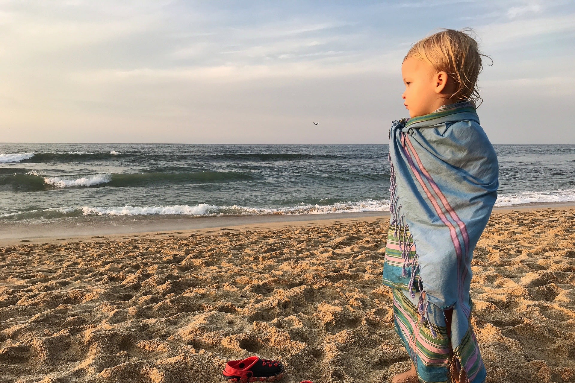
At the end of the road, we’re happy with what we find.

Well, this is one of the nicer beaches we’ve discovered in a while. A beautiful day, and we appear to be the only ones here.
Or, so we thought.

Walking out to the waterline, we turn around to get our bearings and catch a glimpse of a naked sunbathing couple jumping up and throwing on their clothes.
Sorry to intrude on your “birthday” party…
We decide to walk to the opposite end of the beach.


The south side of this unnamed beach is dominated by the imposing Bungalows Lydia, perched high above. There is a staircase carved into the rock, which leads to a ledge above a rocky outcrop. Around the corner, looking back in the direction of San Pancho, more rugged coastline.

Lori asks for the time again. I look at my phone [again] and tell her not to worry.
At this point, I can tell she’s getting suspicious. She fishes her own phone out of the backpack, and lets out a yelp.
The time on her phone is an HOUR ahead of mine.
Huh? How can that be? Whose phone is correct?
Lori, of course, insists that hers is.
But, then, how did mine get messed up. I go into the time settings of my phone and notice it has automatically selected Mazatlan Time, which is an hour behind Puerto Vallarta time, which is what Sayulita is on. I set the phone to MANUAL and select Puerto Vallarta time. Now, the time on my phone is the same as Lori’s.
But why?
I turn to Lori, “THE VORTEX!”
She replies, “Noe!”
Oh crap. That means we have to pick up Noe in about 25 minutes. We’re about two miles away from the taxi stand, with a ten minute drive from San Pancho to the school, if we don’t have to wait for a taxi.
After an already long hike, we pick up the pace and jog back into town. As we’re jogging, I chuckle to myself thinking this probably won’t be the first time a parent uses the “Vortex” excuse in Sayulita for why they’re late picking up their kid.
Once back in cell coverage, we’re able to send out a couple of messages to the pertinent people, and snag a waiting taxi. We make it back to the school only about ten minutes into the extended session.
Sorry, Noe. Mommy and Daddy were late because they were out in the jungle and got sucked into the San Pancho Vortex.
Sayulita problems.

Rounding out the rest of the month of January in pictures…

Live music at the Friday Market.
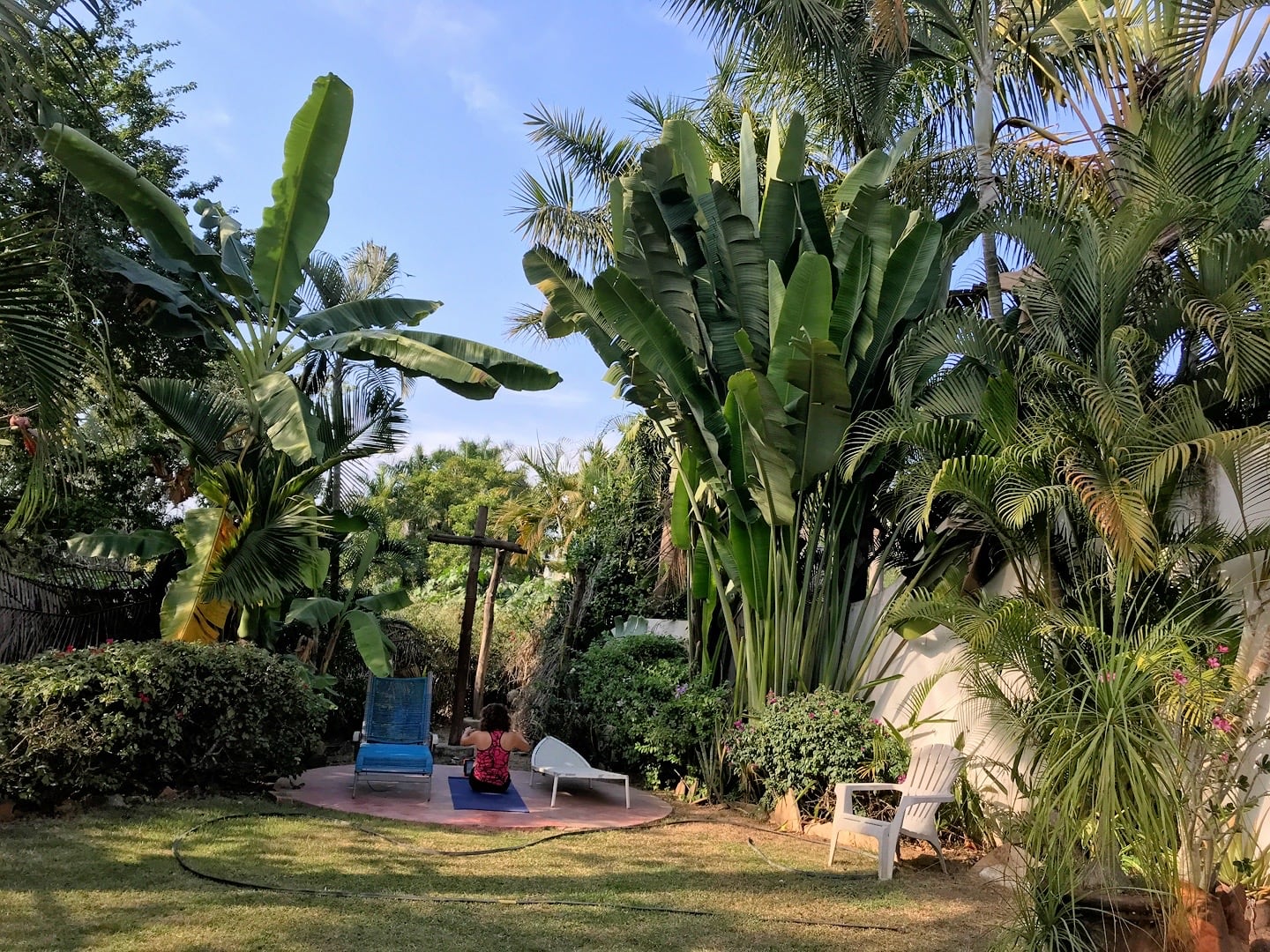
Backyard yoga…

…with iguanas.

Dive bombing birds harassing surfers (with spectators).
The surf was relatively big today and we asked the boys to stay back from the waterline. Of course, that just made them want to play along the waterline even more.
Moments later, a rogue wave nails Riley from behind. We bolt up and Lori jogs down to collect our stunned toddler laying in the surf, soaked head-to-toe.
A bit more excitement than we bargained for, but I think Riley learned his lesson. For now.


Okay, now we’re really scraping the bottom of the barrel for novel hikes. Lori thought it sounded fun to walk the dry riverbed of the Rio Sayulita from the center of town to home.

It lent a unique perspective to town.

Riverfront property in Sayulita.

There’s a part of me that really wants to take the golf cart down the “river.” But I’m sure there’s got to be some law or regulation against it or everyone would be doing it. Or maybe I’m the only one.

Up the hill behind Noe’s school, we’ve been noticing a few new roads being carved into the hillside. Curious, we decide to do a little family walk up there. We were surprised to encounter an expo tent with two real estate reps, ready to sell us some property.

Many of the lots are view lots. Utility hookups are “coming soon” and the road will be paved in two years, according to the reps, or agents, or whatever they are. Not really our bag, but the views were nice.

Tapping the spiritual energy of the nearby Vortex…
Speaking of the Vortex, our San Pancho hiking fiasco was not the first time we had issue with time jumping around. A lot of strange things happen in San Pancho, which draws a lot of interesting folks.
As cool as it would be to live at the edge of a vortex, I’ve since developed a slightly different explanation for our time shifting devices.
San Pancho is located just five miles south of the town of Lo de Marcos (as the crow flies). Just on the other side of Lo de Marcos is where the time zone changes from Central Time (Puerto Vallarta time) to Mountain Time (Mazatlan time).

It’s a quirk of living in the area, and the backstory goes something like this.
The time zone use to run between the states of Nayarit (where we live) and Jalisco (location of Puerto Vallarta and the region’s busiest international airport, PVR), about an hour south of here.
In the 1990s and 2000s, tourism exploded north of the Jalisco border in Nayarit beach towns within an hour of PVR (Nuevo Vallarta, Bucerias, Cruz de Huanacaxtle, Punta de Mita, Sayulita, and San Pancho).
Many of the visitors didn’t realize that Nayarit was an hour behind Jalisco (vacay mode?). In some cases, these were tourists staying in Nuevo Vallarta a mere mile from the end of the runway of the international airport who had no idea they were in another time zone.
As you might imagine, a lot of flights got missed out of PVR.
This happened so much, in fact, that officials decided in 2010 to alter the time zone border to what we have today.
As for our phone time anomaly? My phone is newer than Lori’s with a more sensitive antenna. We were out of cell range for most of our hike. My guess is that my phone grabbed a signal a few miles to the north in Mountain Time and locked on to the time there.
Or maybe it was the Vortex. You decide.


My votes on the Vortex for your time problems!!