Once back on Highway 12, it was an easy 20-minute drive to Lodi, which certainly wouldn’t be a town (?) worth mentioning if not for two things: Having the distinction of being the setting of an unflattering CCR tune, and being where Highway 12 unceremoniously meets up with Interstate 5.

Green hills all around. I’ve never seen the Central Valley like this. Which means one thing: Rain. But for now, dry pavement, light traffic, and cruising.

Before we can get too used to that, here it comes.

Have you ever seen the rain coming down on a sunny day? Still I wonder, who’ll stop the rain? Sorry, couldn’t help myself.

At one point, the visibility got so poor, I took the next exit and decided just to wait it out. We’re in no hurry and I’d rather not be trying to move our home down the freeway when I can’t see more than a few meters in front of me. I’ve had to do this plenty of times in my life, but never in California. Crazy.
After pulling over, we quickly realized we had pulled into this exact same spot last summer to eat lunch. One of only a handful of stops during the day.
As we got closer to Bakersfield, the rain began to let up, but it was obvious it would be yet another travel day rolling into the RV park after dark. Fortunately, this was an easy one.

Every RVer seems to have heard of Orange Grove & RV Park in Bakersfield more than any place we’re planning to stay in the U.S.
For one, it’s certainly a memorable place (a former orange grove where they’ve turned the old packing house into a club house with an Old West motif). But it’s also HUGE. Rows upon rows of RV sites with full hookups.


To top it off, each site has their very own orange tree. Right now, the oranges were ripe for the picking and the boys couldn’t be more thrilled.


After a restful night, a nice shower, and a heck of a time convincing the boys to leave at least a few of the oranges in the grove for the next people, it’s time to hit the road.
We’re excited to finally get over the Sierra’s and be done with these winter storms. Our route takes us east on Highway 58 to Tehachapi and eventually Mojave. This is the only route east that’s been open to normal traffic for a couple of weeks now. Everything north has been getting dumped with snow.

Unsurprisingly, Tehachapi means “hard climb”, and it’s exactly that with the road rising from sea level to about 5,000 feet in a dozen miles or so. Fortunately, we’re doing this drive in March. We hear it can be brutal on rigs in the hot summer months.

Shortly after Tehachapi the elevation levels out at 4,900 feet and remains as flat as a pancake for the rest of the morning as we cross the Mojave Desert.
This is the first opportunity Lori’s had to do a bit of road school with the boys at the dinette. I take the opportunity to try out the cruise control. I line up with an 18-wheeler in the distance going 60 and click the button. It works. Another thing to tick off the list.
I haven’t been through these parts since I was a kid, but some things you don’t forget, like the commercial airplane mothball fleet near Edwards Air Force Base.

Noe is excited to hear that this is where they launch “rocket ships”, like Virgin Galactic.
Overhearing our conversation, Riley has far more pressing things on his mind: “Ooh! Ooh! After we do school, we can watch Paw Patrol in the desert!“

Lori read about a place called Pioneertown that might be a nice stop for the kids. After reaching Barstow, we take a right hand turn onto 247. Now it feels like we’re really out in the middle of nowhere.

After climbing over a small range, the road heads straight downhill for a dozen miles. In the distance, I can see the road begins to climb. And climb. And climb. To what appears to be the very top of the snowcapped mountains ahead.

Consulting the map again, Lori assured me that that is most certainly NOT our route and that we will be making a big left turn in the valley below. It’s one thing to drive our SUV in the direction of a steep switchback road that looks like it was pulled from a cartoon, it’s another to do the same with our 12,000-pound home on wheels.
Fun fact: There’s actually a Buddhist monastery about halfway up that crazy road. What’s at the top? Nirvana, I’m sure.
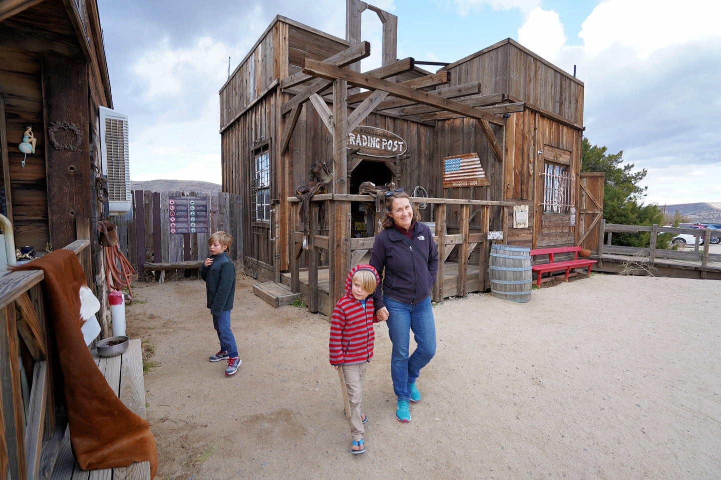
Nirvana would have to wait today. We were on our way to Pioneertown. We reached tiny Lucerne Valley at the bottom of the hill, took our left and found ourselves back in the Old West a short while later.

Pioneertown’s an odd place. It’s not a town at all, but an old movie set built for a variety of Westerns shot in the 1950s and 60s. Occasionally, parts of the “town” will find their way into movies today (though which current movies remains a mystery).

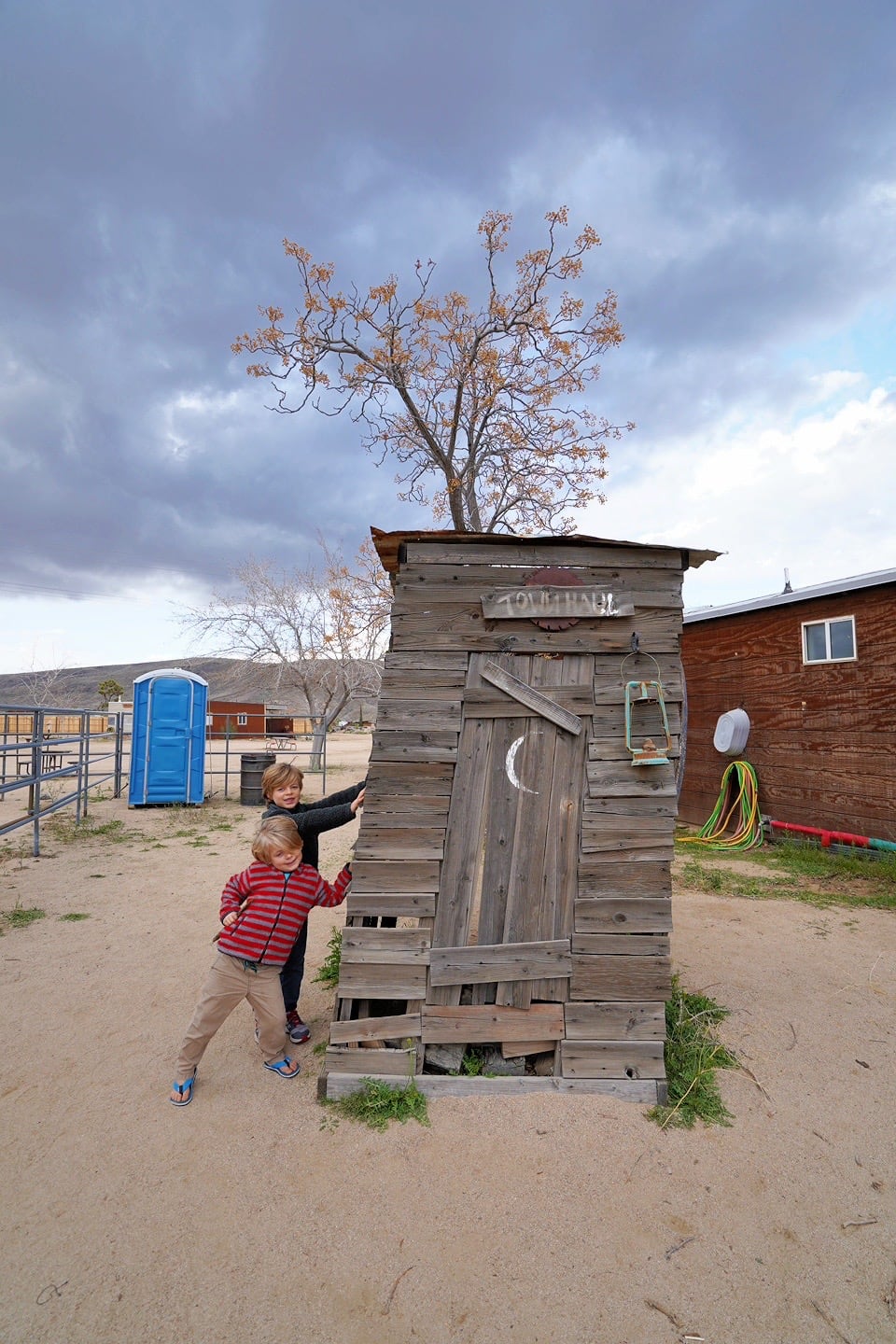
None of that really mattered. The boys just thought the place was cool. Because it kind of is. Especially if you’ve never seen anything like this before, as is the case with Riley.

Noe instantly fell in love with Pioneertown because it reminds him of a couple of old mining towns in Mexico that we’ve visited. He loves gold rush history and mines and the culture around them fascinate him to no end. He was a less enthusiastic about this place, however, after hearing that there’s no mine here. Just a lot of old-looking buildings.


We can already tell we’re getting close to Joshua Tree National Park. They’re all over the place here.


The daylight’s starting to fade, so we best be moseying on. The RV park we’re aiming for is only 20 minutes away, but we plan on making a stop at the Walmart in Yucca Valley first to pick up some essentials.

Another long (but gloriously dry) driving day brings us to our pitstop for the next couple of nights: Quirky Joshua Tree Lake RV & Campground, home of the Joshua Tree Music Festival.

Tomorrow, Joshua Tree National Park.

")
