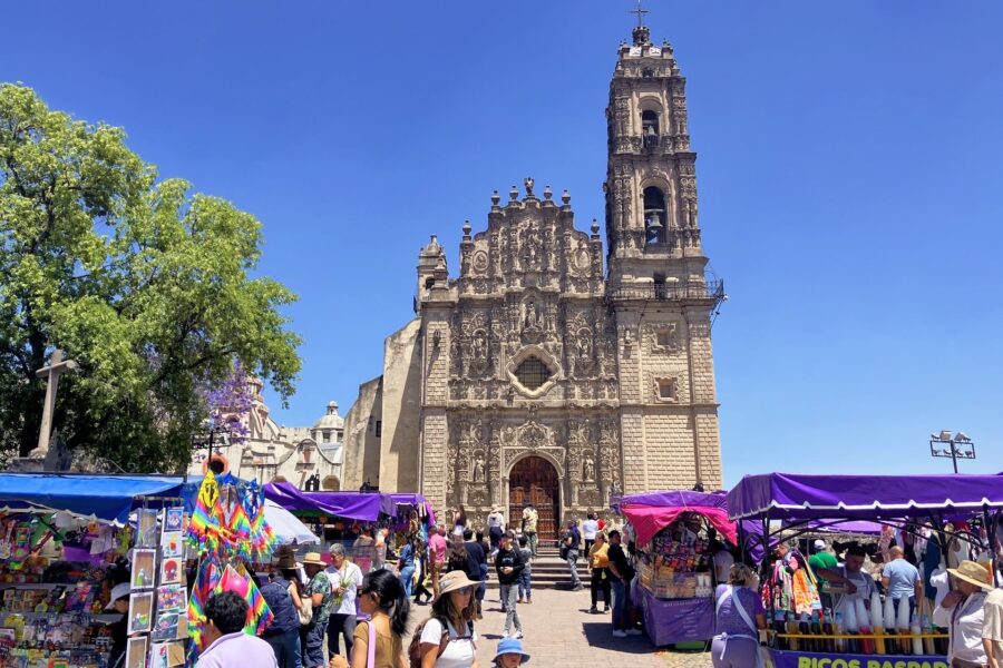
While the boys were attending a kids camp in Tepotzotlan, Lori and I used the opportunity to get caught up on a number of things—one of them being figuring out our route north.
About a year ago, all hell broke loose in and around Culiacan (the capital of Sinaloa), and a prolonged battle between cartel groups and federales ensued. As a result, most overlanders began avoiding the region altogether, including Highway 15D, the main route connecting the Pacific Coast of Mexico with the U.S.
If you’re heading up the coast or coming from the highlands and aiming for the Western U.S., there are limited alternatives to cutting through Sinaloa. The two best options for most travelers are to either aim for Texas (Eagle Pass is preferred), then cut across half of the U.S.; or to take the ferry out of Mazatlan to the Baja Peninsula and head north that way.
Our Mexico-USA RV Journey 2024-25
At this point, heading back to Nayarit one last time was more or less non-negotiable, so we hoped for safe passage up through Sinaloa by the time we passed through.
Because of this, I’ve been checking various Facebook pages and groups related to travel through Mexico on a regular basis, but by the time we had arrived in Tepo, it had been a while since my last check-in.
It was Thursday after Easter when I loaded up the usual pages and promptly received a quick punch to the gut. No problems in Culiacan, but it seems we might have another problem on our hands.
Just yesterday, there had been clashes between government forces and cartel groups to the south of Lake Chapala. The cartel members lashed out on a scale not previously seen, indiscriminately firebombing cargo trucks and public buses, blockading major highways, killing two police officers, and injuring dozens of people.
The center of activity was the town of Ocotlán, located about 15 miles as the crow flies from where we were headed next. The stretch of 15D between here and Guadalajara was one of the major arteries affected by the violence. There are few practical alternatives routes to 15D to follow to get between Tepotzotlan and any of our next stops headed west. When these sorts of things occur as they have several times in the five years we’ve lived in Mexico, the best thing you can do is stick to the major toll highways and not go wandering around the countryside deeper into Cartel territory.
We needed to keep heading towards Nayarit, and 15D was the only practical option at this point, provided it was open and secure.
We planned to head to our next stop on Sunday, giving us three days to see if things heated up or cooled down. In those days, we checked in with the people at Charly’s (our next planned stop) and continued to check the news and Facebook for additional information.
By Saturday evening, all had been quiet for four full days, and the folks at Charly’s were able to confirm that they had recently driven the route and that it was open, with a heavy National Guard and military presence.
So, on Sunday, we packed up our home and rolled out of Pepe’s.
It has got to be one of my least favorite driving days in the RV to date. The recent violence hanging in the air (and chance of more at any time) was bad enough. Add to that, more elevation changes than I can remember ever doing in one day, lots of traffic, and the RV almost overheating in the last hour. It was a pretty stressful day, and one I would not want to do again anytime soon.
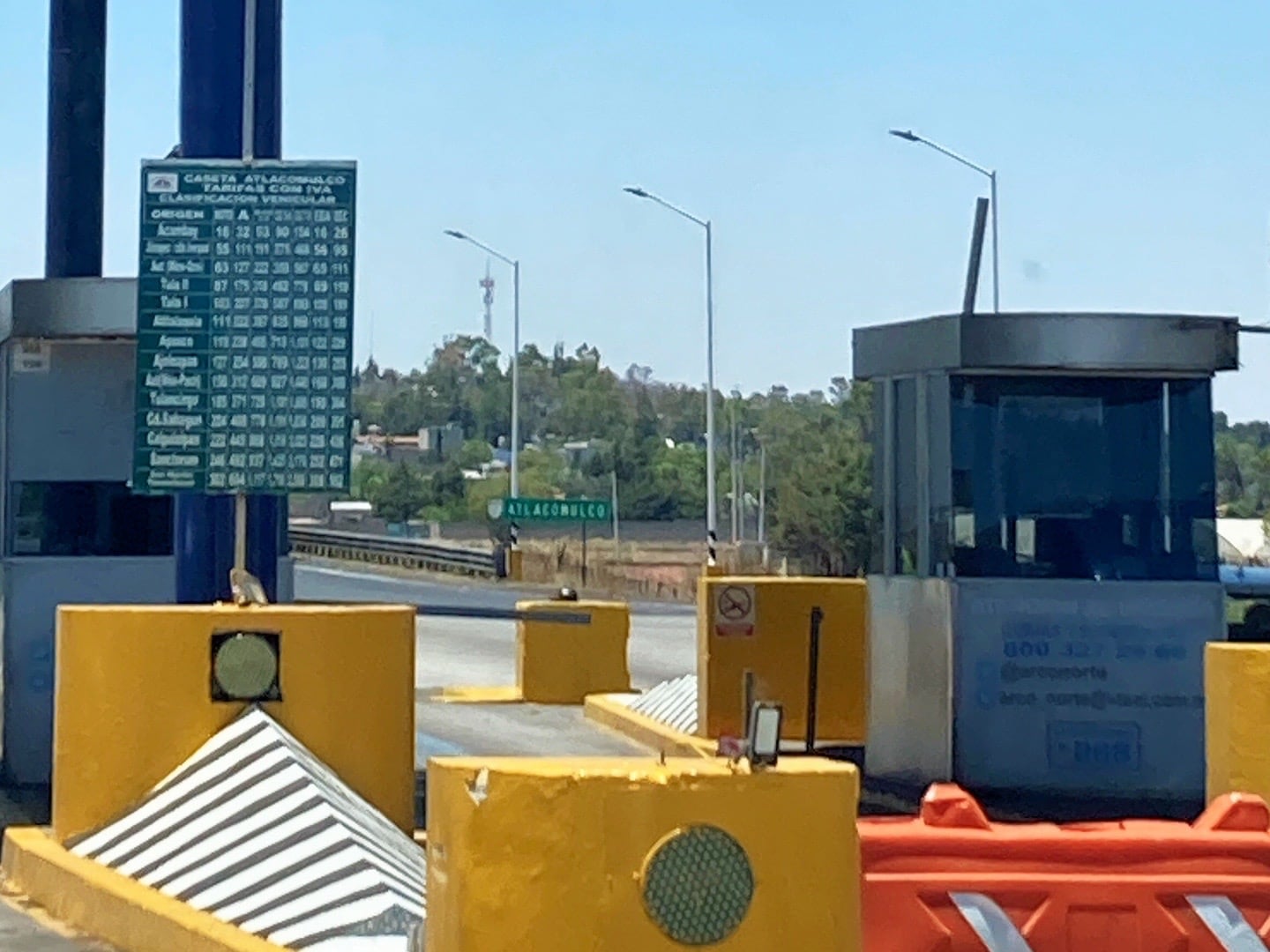
Oh, and if that all weren’t enough, the road tolls for the day were egregious—just under US$100 to drive 250 miles. But the price was worth it to get through Cartel Country as fast as possible.
By the way, can you read that toll fee sign (above)? We usually can’t, so we’ve made a guessing game out of which bill to hand the attendant.
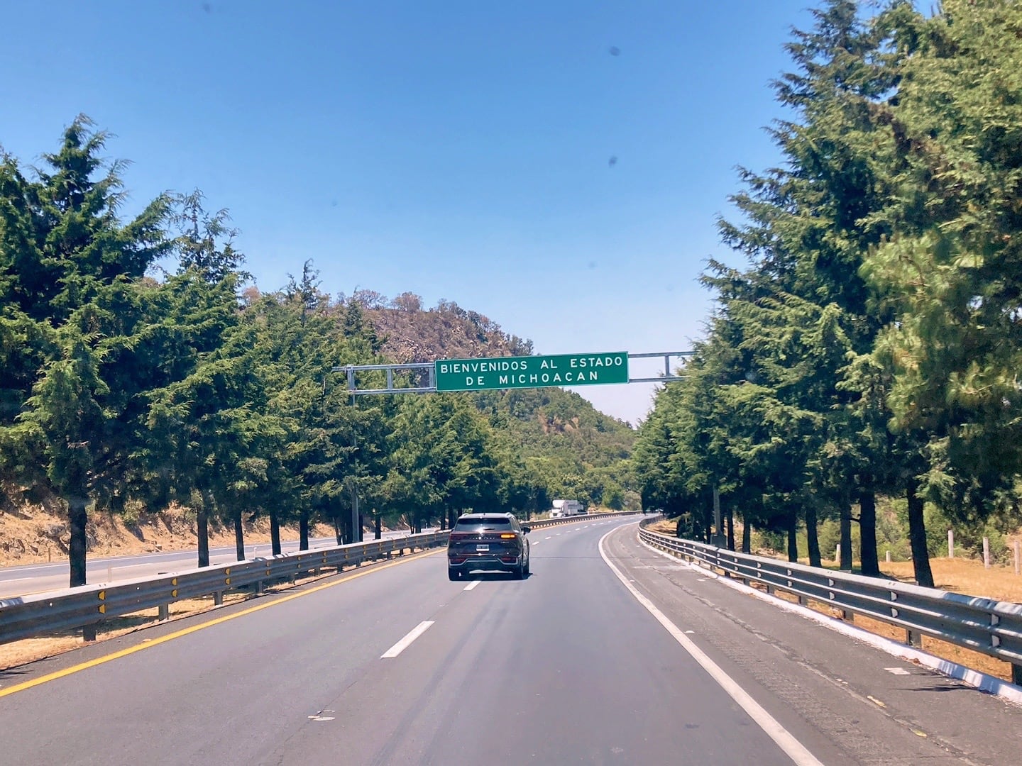
Our route even dipped us back into Michoacan, if ever so briefly.
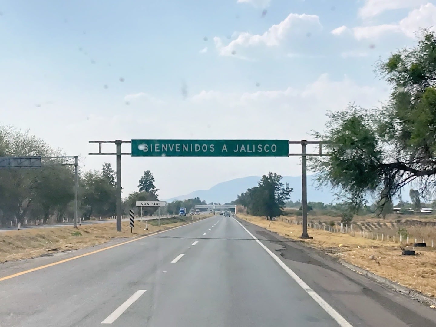
Before we knew it, we were back in Jalisco.
Thirty minutes from Charly’s, we encountered our first stretch of highway with big black streaks and melted tarmac. Then another, and another. The telltale aftermath of firebombed big rigs. Minutes later, we made our right-hand turn for the final stretch into Santa Elena.
But the fun didn’t stop there. When we reached the small village of Santa Elena, we were greeted by very narrow roads and a very tight turn getting into the RV park. Once there, it was surprisingly packed. I pulled in to one of the few remaining spots, spent way too much time leveling the rig, and finally shut-off the engine.
We made it. Now all we need to do is kick back, relax, and hope we can get out of this place in a couple of weeks.
Fortunately, a massive German beer, and delicious German sausages were waiting to take the edge off. If you’re going to have a day like today, there are far worse ways you could end it.
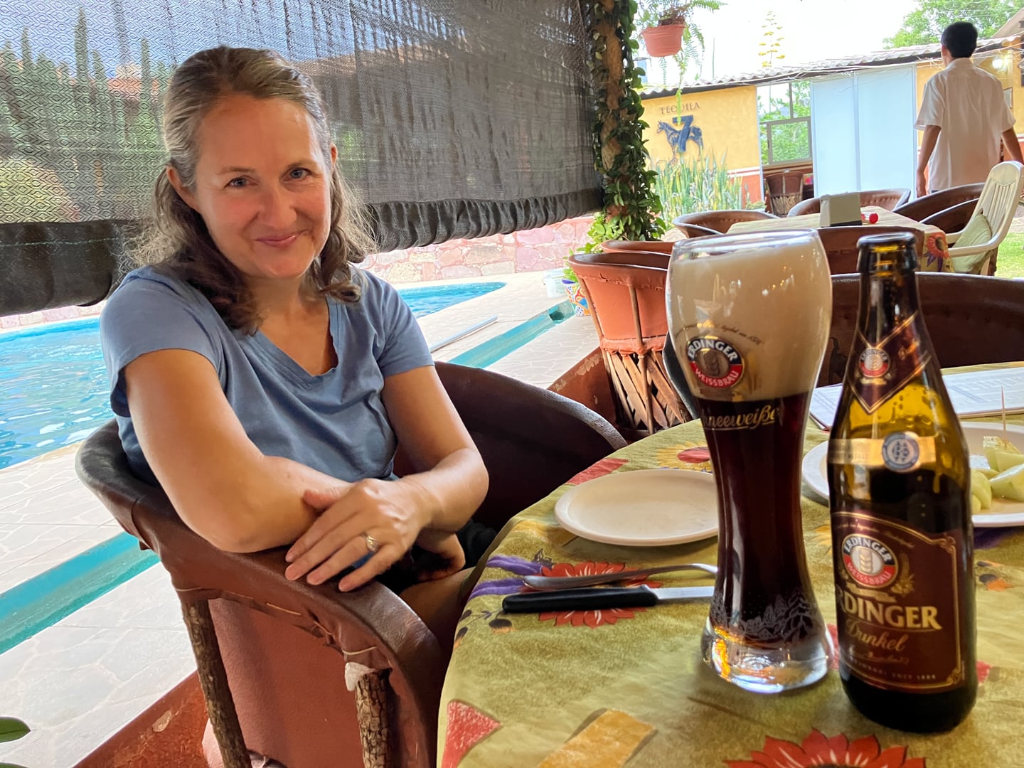
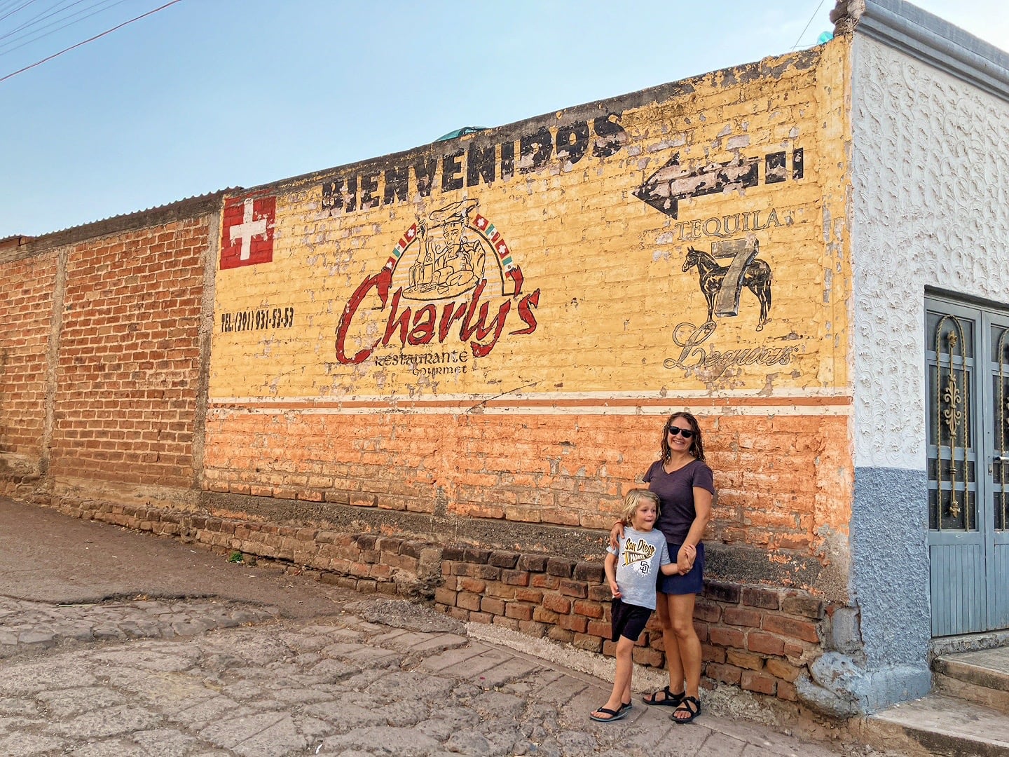
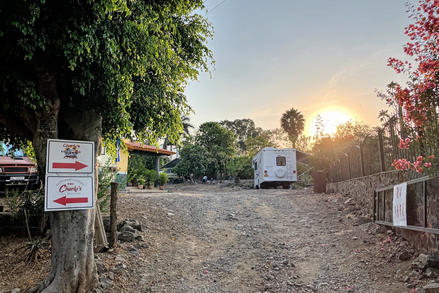
What’s with the German beer and food? Well, Charly’s is owned and operated by a Swiss guy and is a popular basecamp for Swiss and German-speaking overlanders in Mexico.
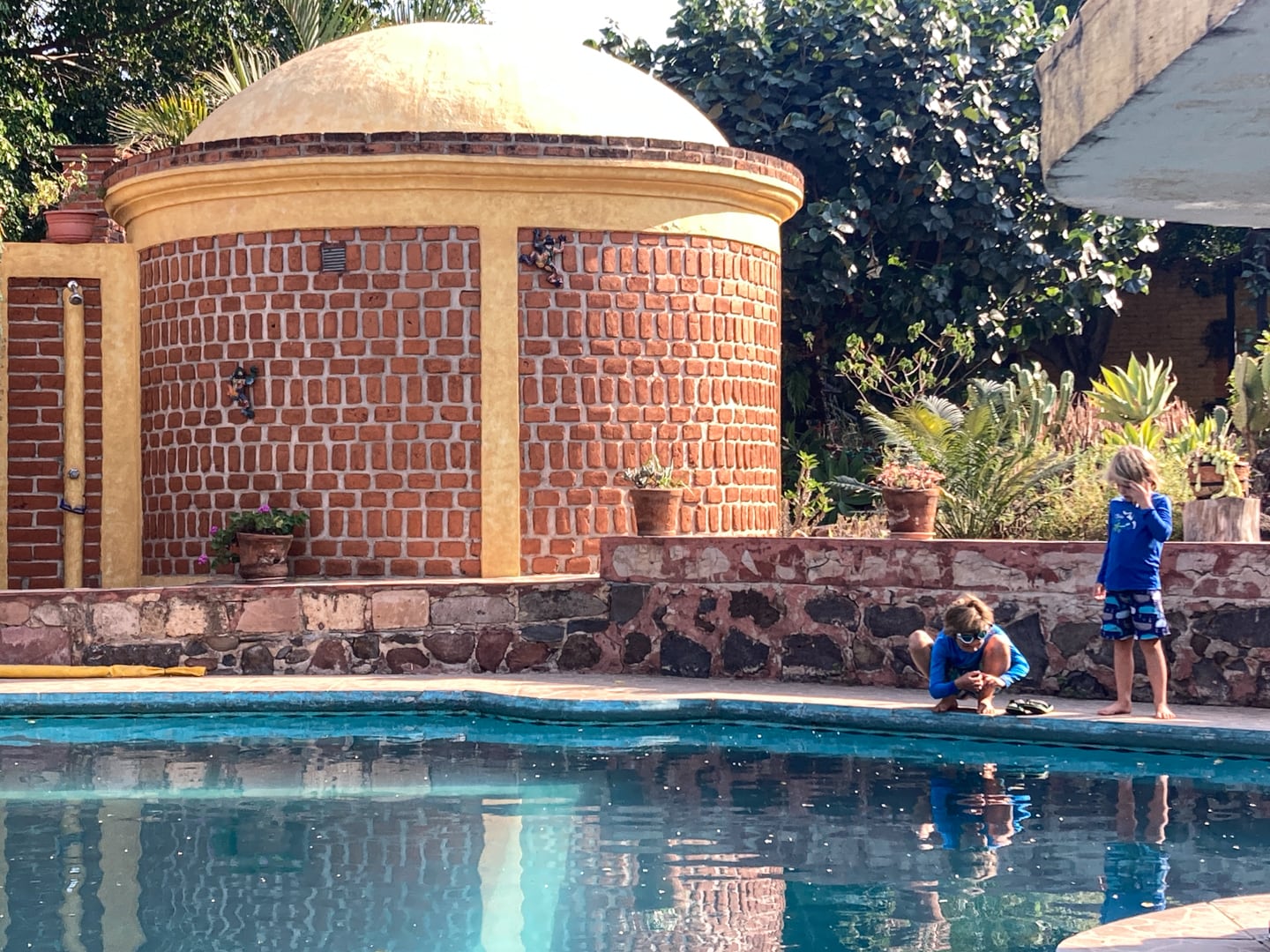
On Sundays (like today), the pool is also popular with Mexican families from nearby Atotonilco el Alto.
In Tepo, taking a dip in a pool would have been unthinkable. But now we find ourselves at 5,200 feet elevation. That’s 3,000 feet lower than where we’ve been for the past couple of weeks, and temps are starting to creep back up into the 90s.
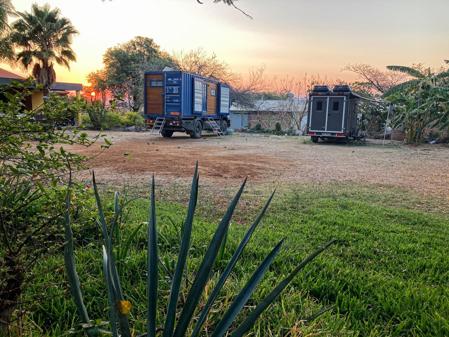
Lori was treated to some nice sunrises during her morning work time at Charly’s.
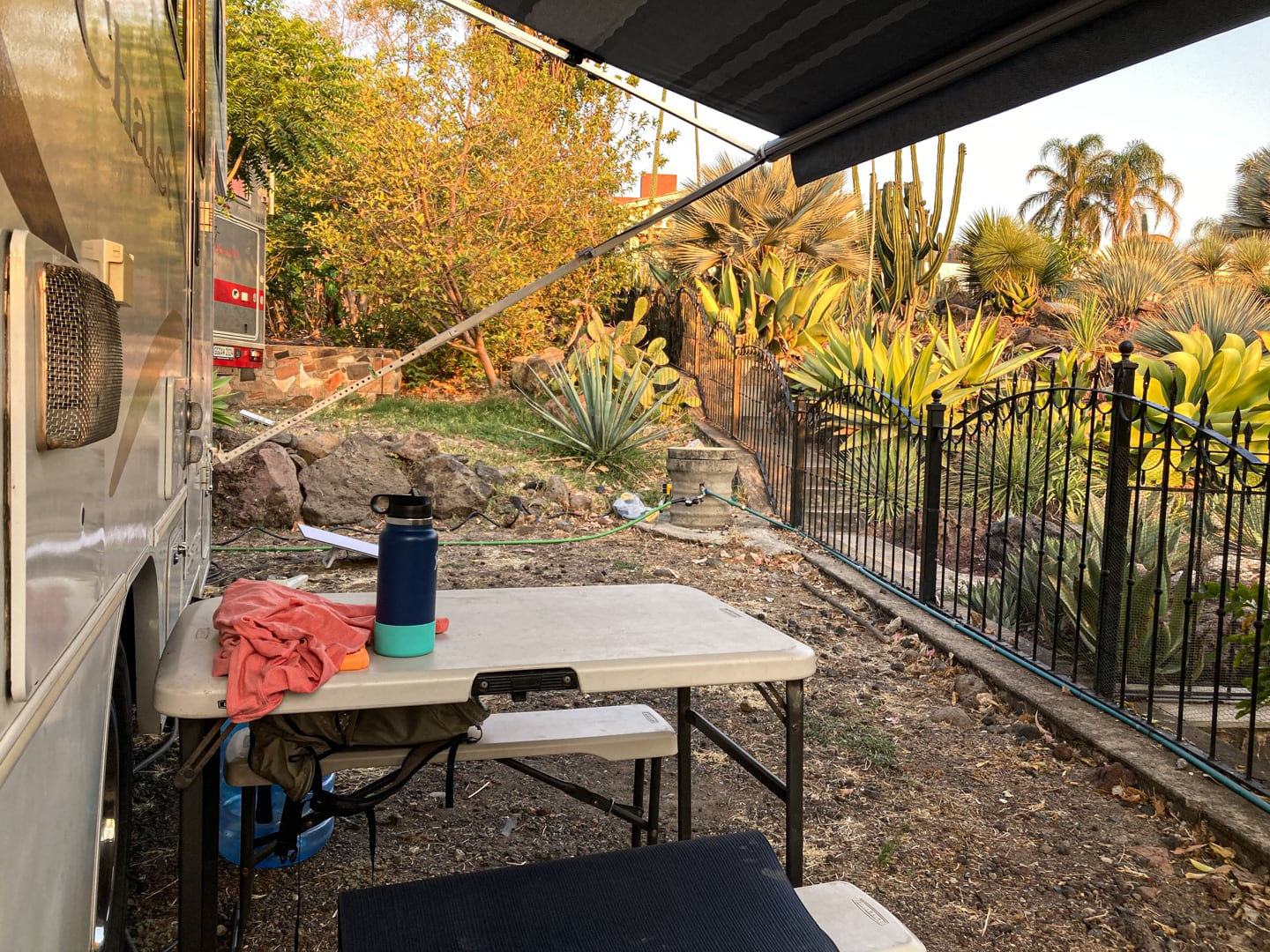
Charly’s ended up being a very nice place to relax, sink into a nice routine of school and exploring, and enjoy the simple pleasures of village life with a few Euro amenities thrown into the mix.
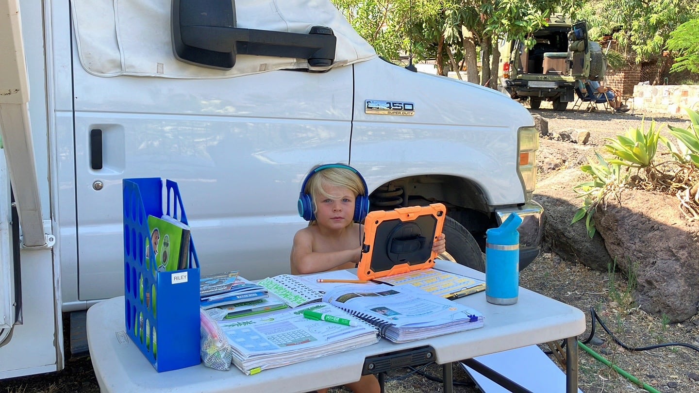
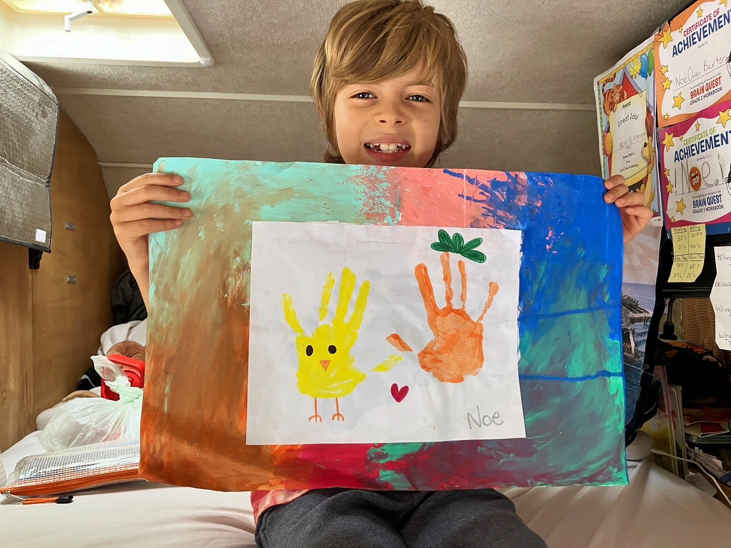
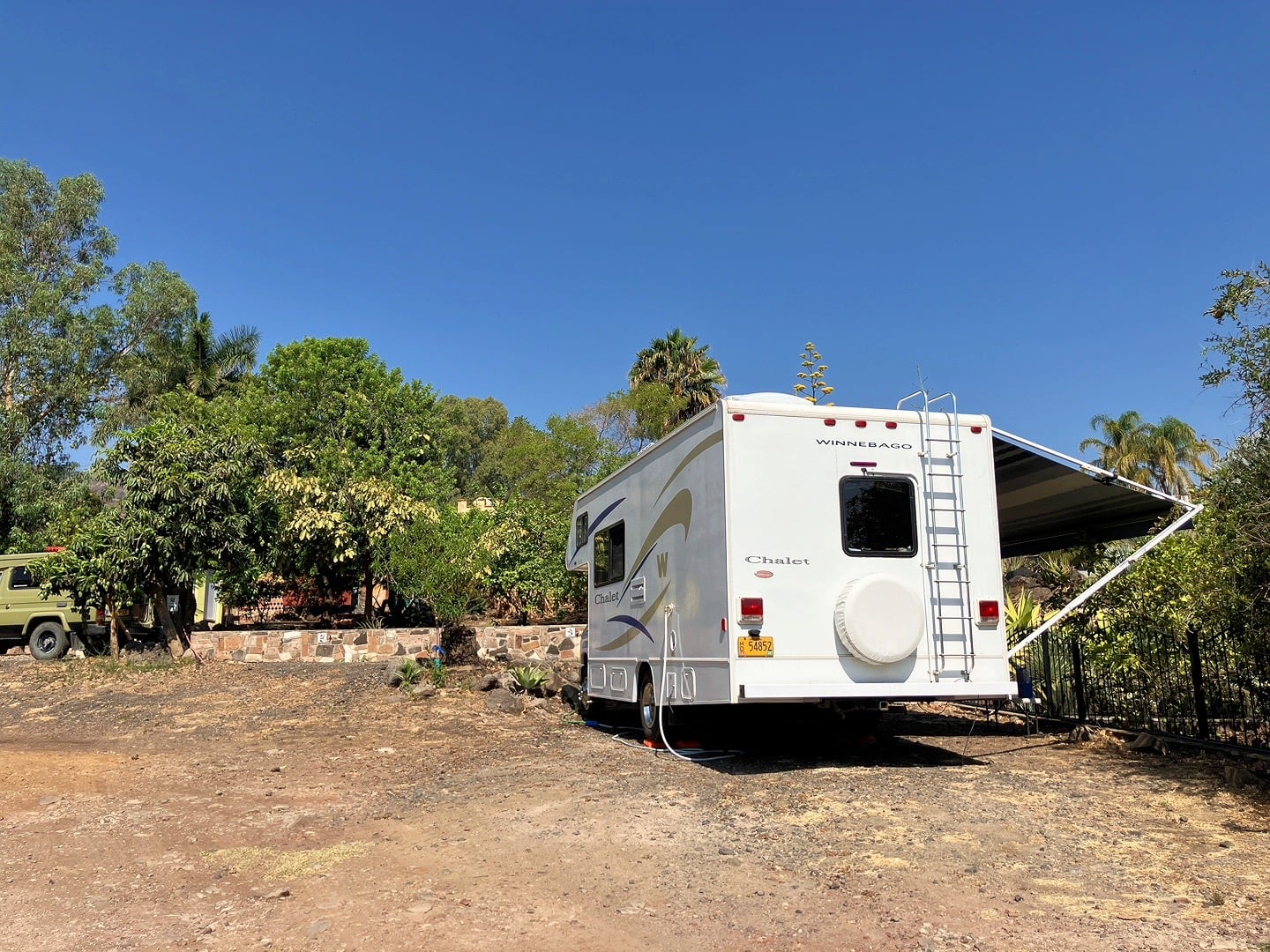
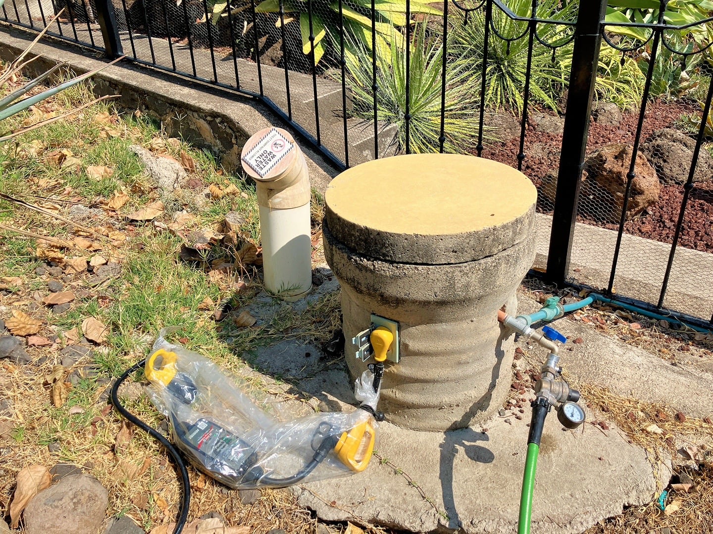
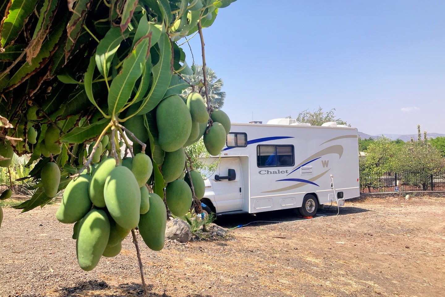
Every RV pedestal in Mexico is unique in their own special way. Here, we’ve got 20-amp power, city water, and a funky, high grey water drain (for dumping water by hand, not for hooking up to). 30 feet down the driveway behind us, there is a communal blackwater dump station.
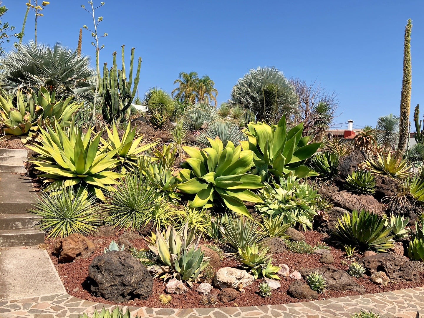
Our spot looks out over the neighbor’s nicely manicured garden.
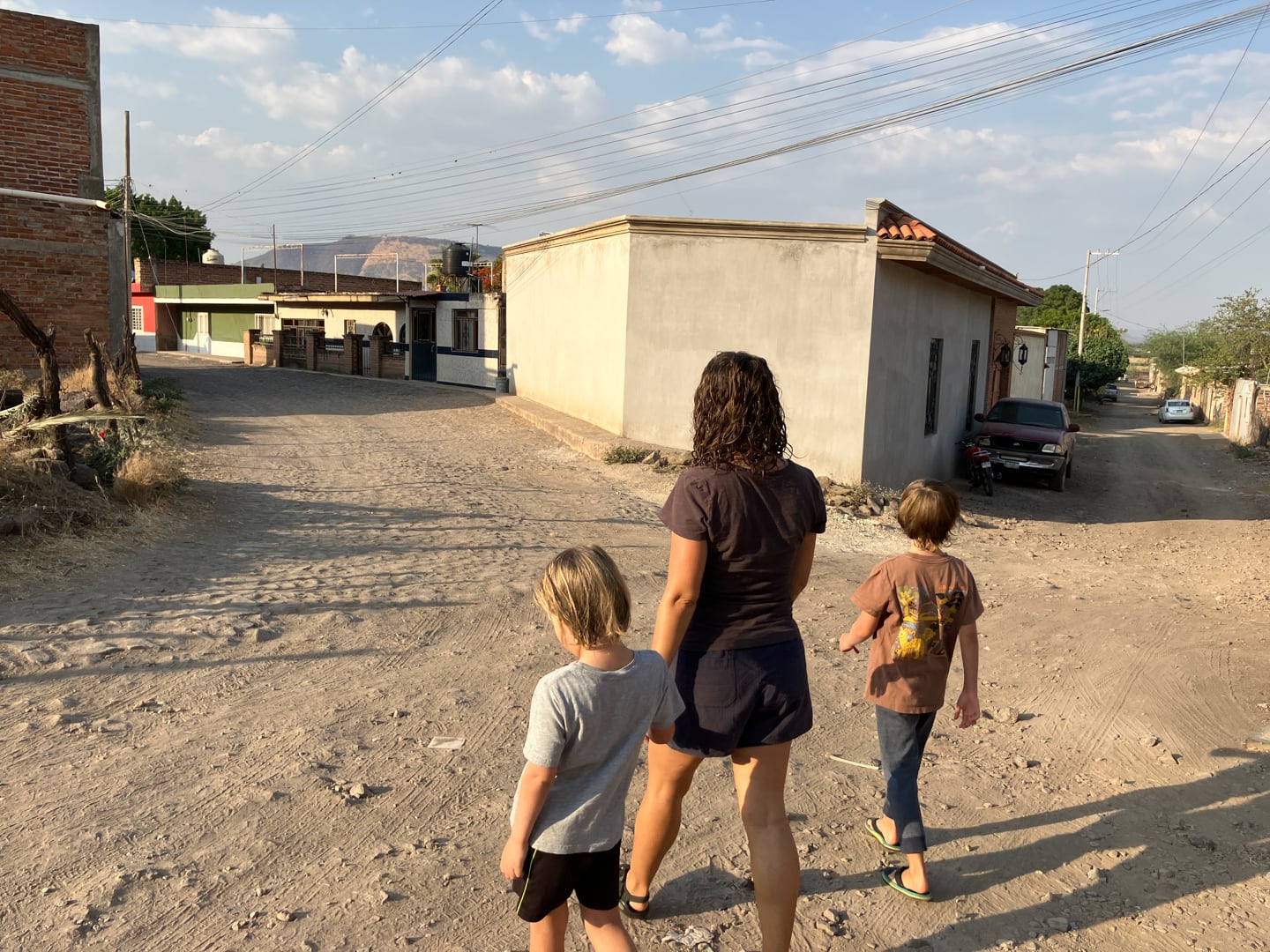
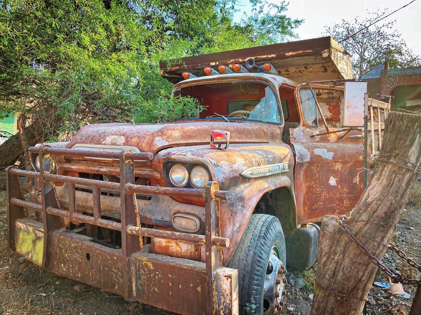
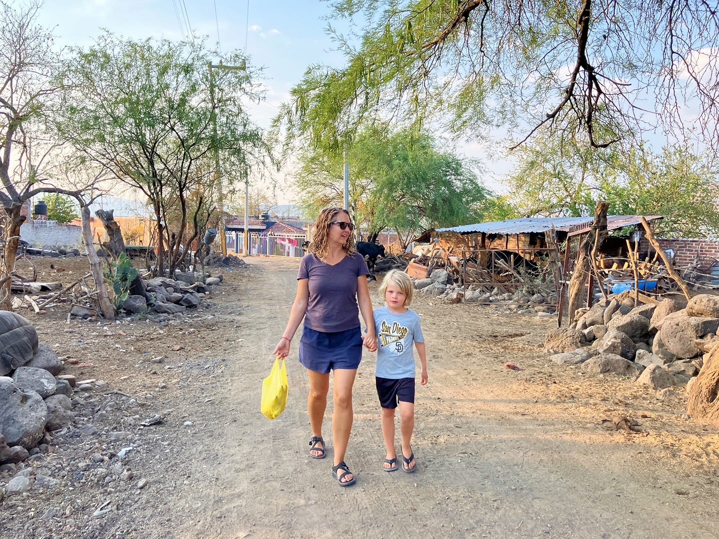
Santa Elena is the quintessential Mexican highlands village—the sort of place I imagined us spending time in a lot more than we actually have. We go where the RV parks are these days, and it’s rare to find ones in places like these. It’s a refreshing change of pace from the Pueblos Magicos and UNESCO cities we’ve accustomed ourselves to.
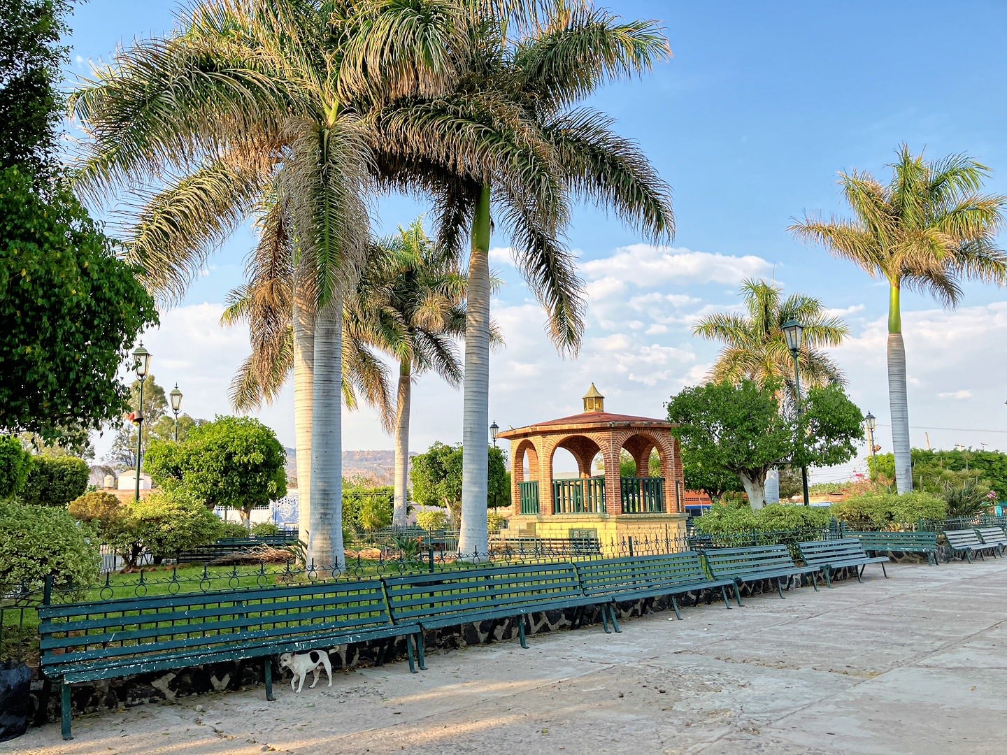
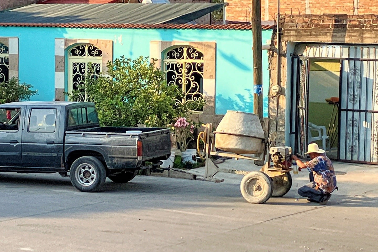
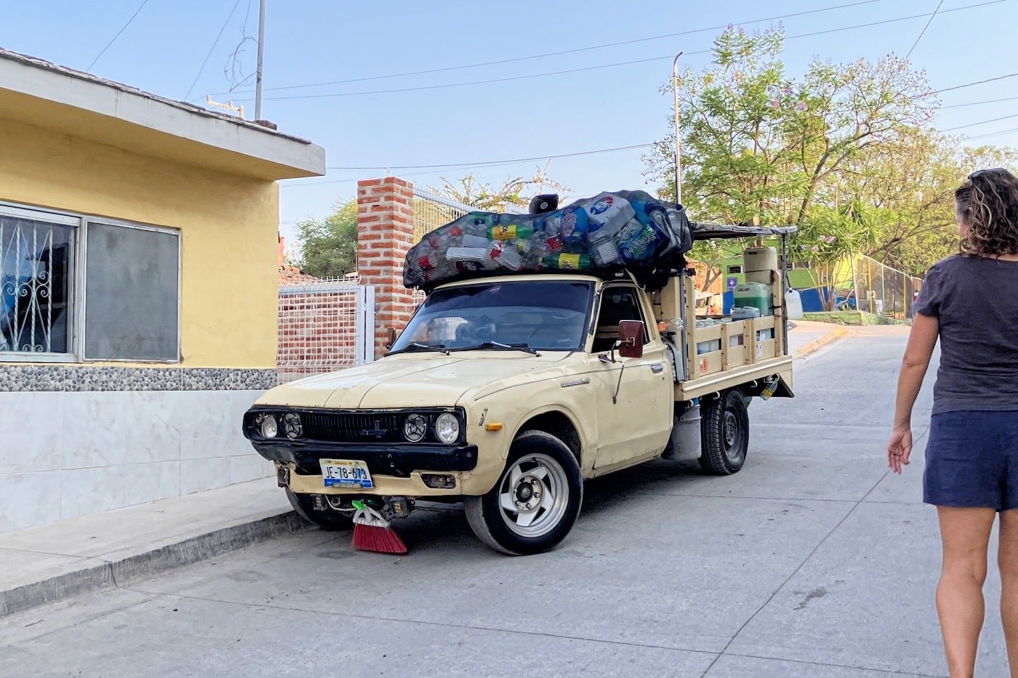
Streetsweeper, Santa Elena style.
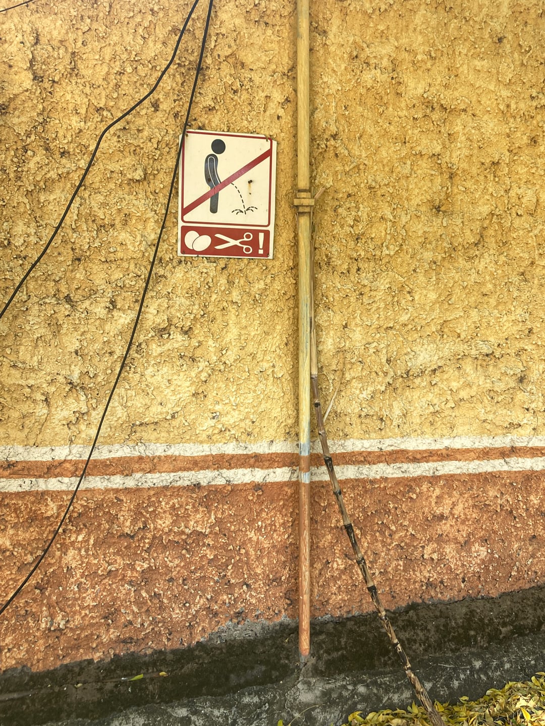
Message received, loud and clear.
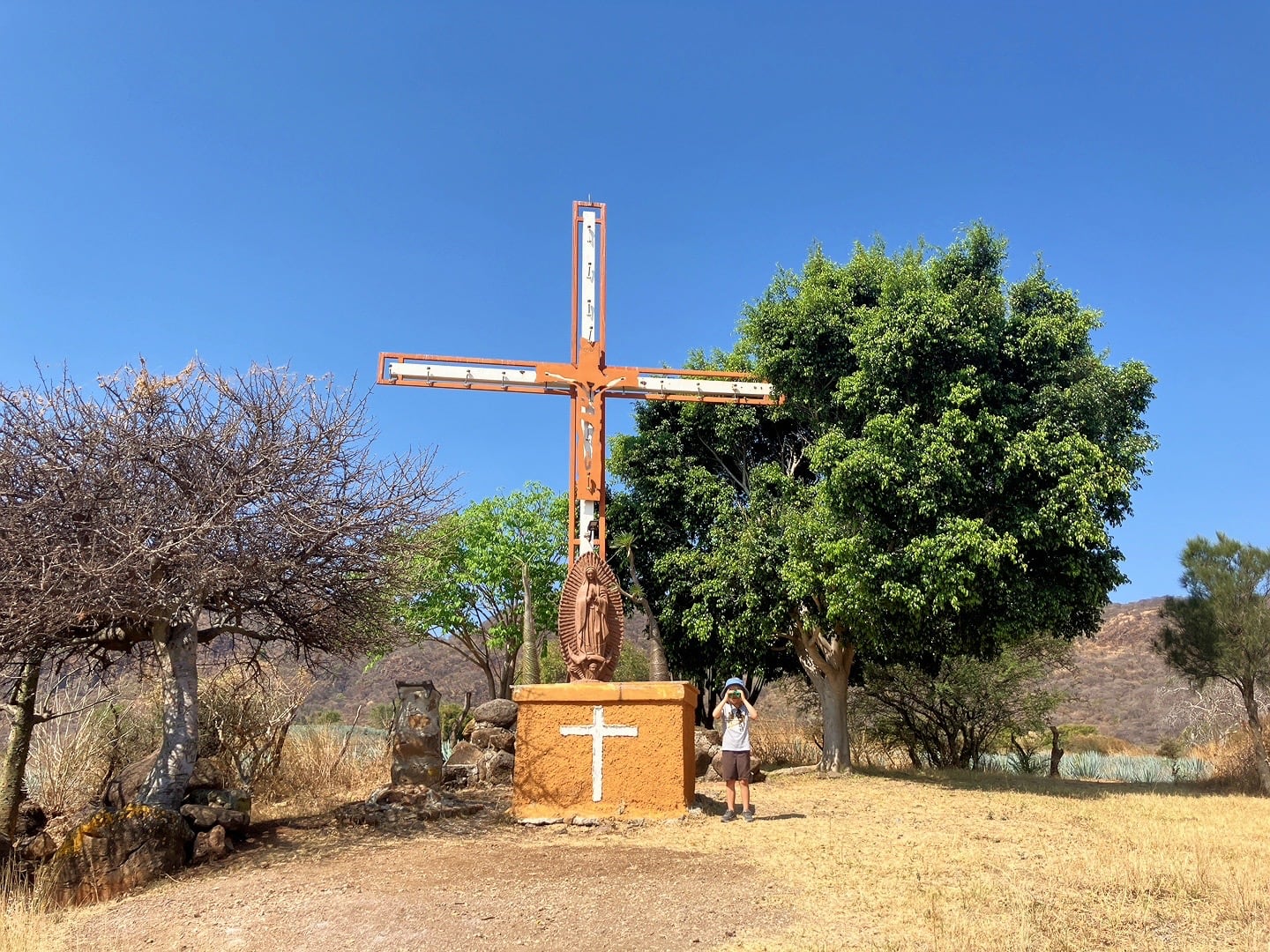
One morning, I thought it might be fun to take Riley on a little hike up to the town mirador. I wasn’t sure exactly how to get there or if it even existed, which is part of the adventure. Fortunately, Riley was down for a little exploring with dad.
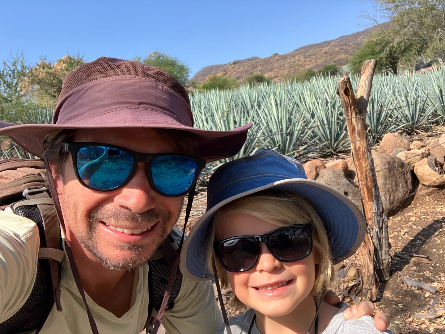
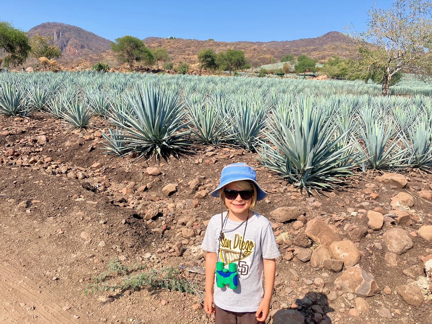
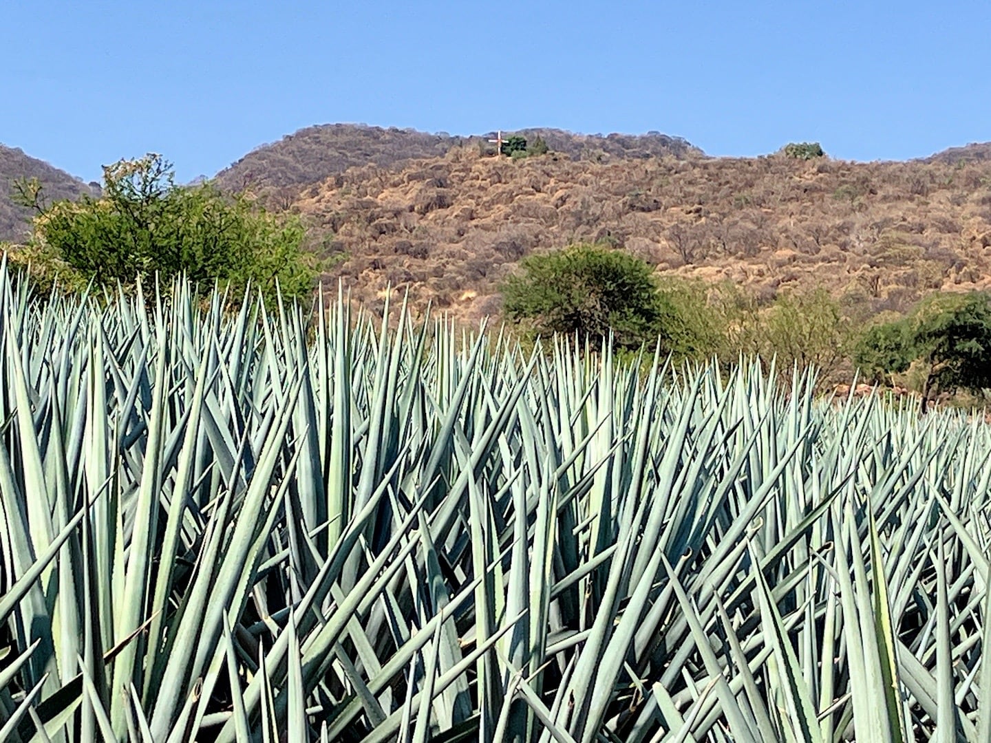
Fields of agave, as far as the eye can see. This is Tequila country with a capital “T”.
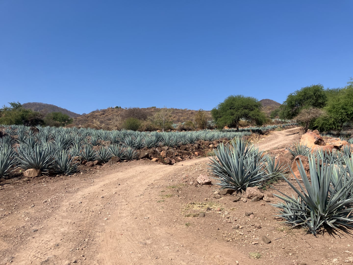
It was a hot morning and a steady climb, but we made it to the cruz, which indeed exists.
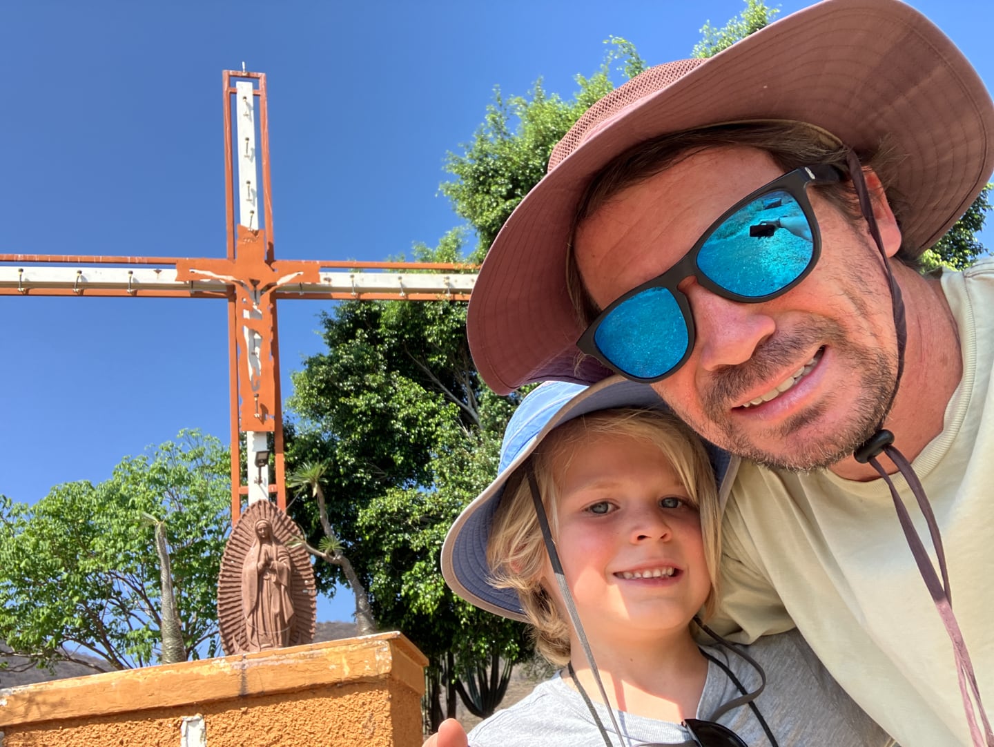
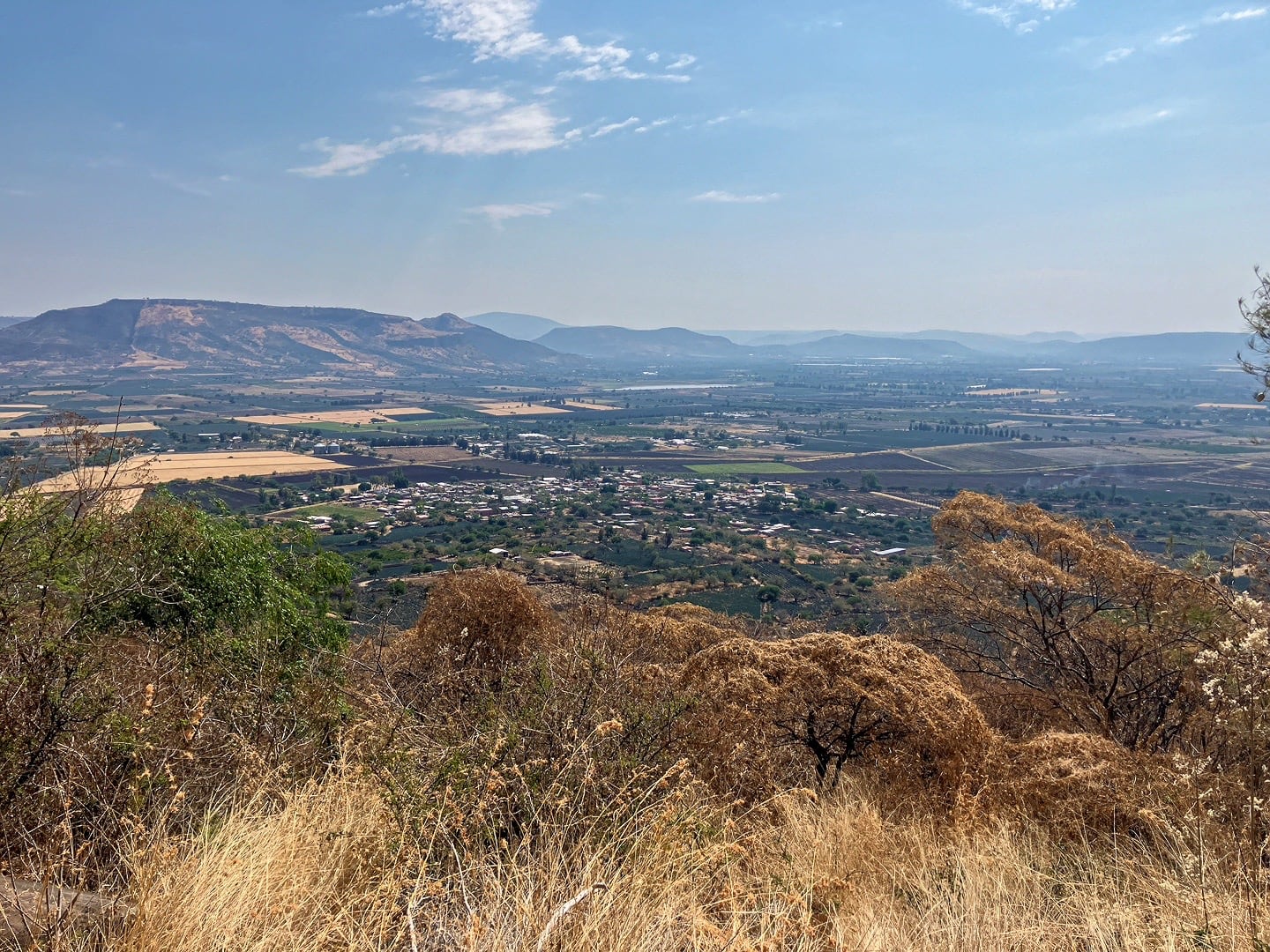
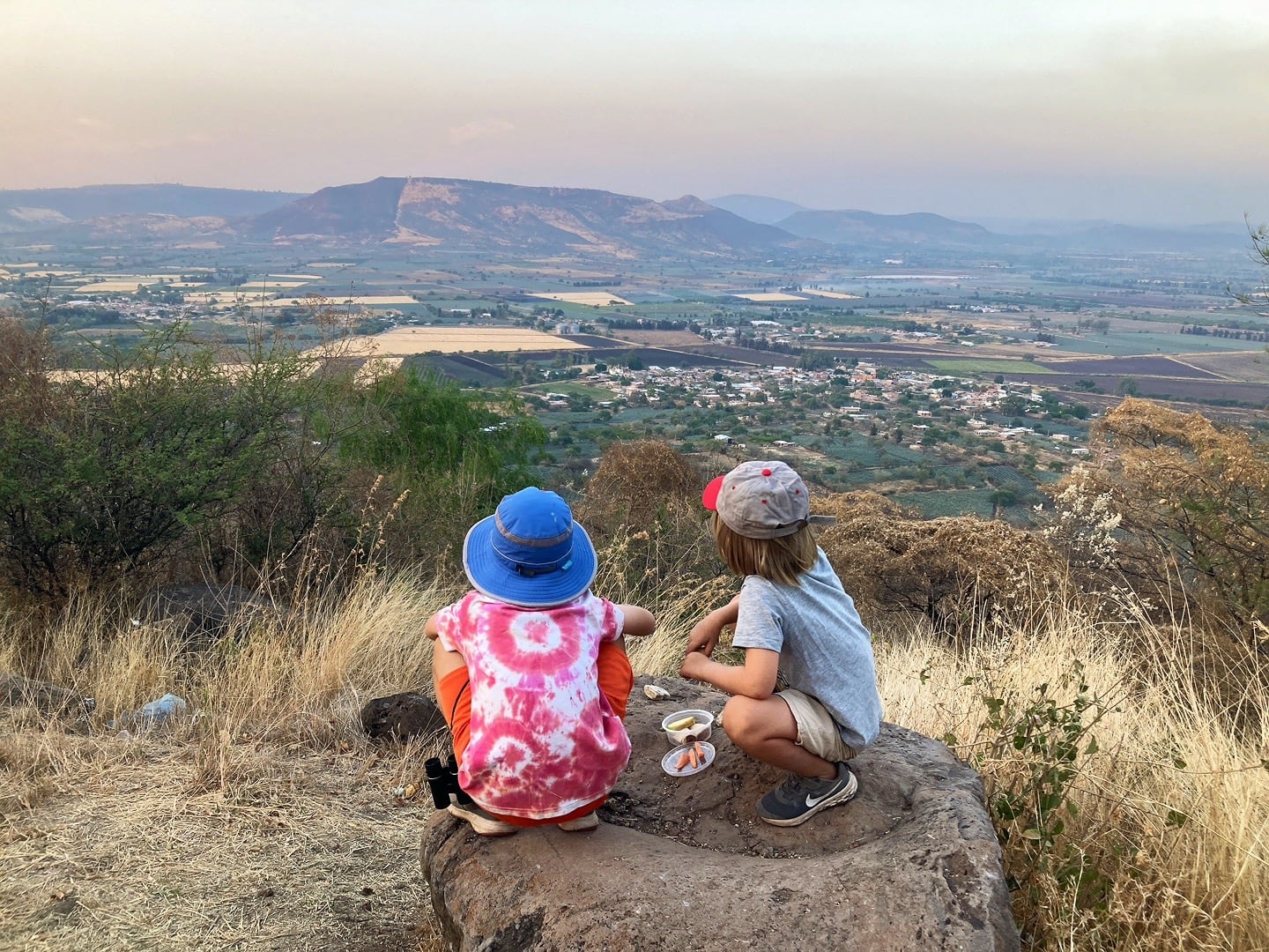
Little Santa Elena, our home for the moment, from the mirador.
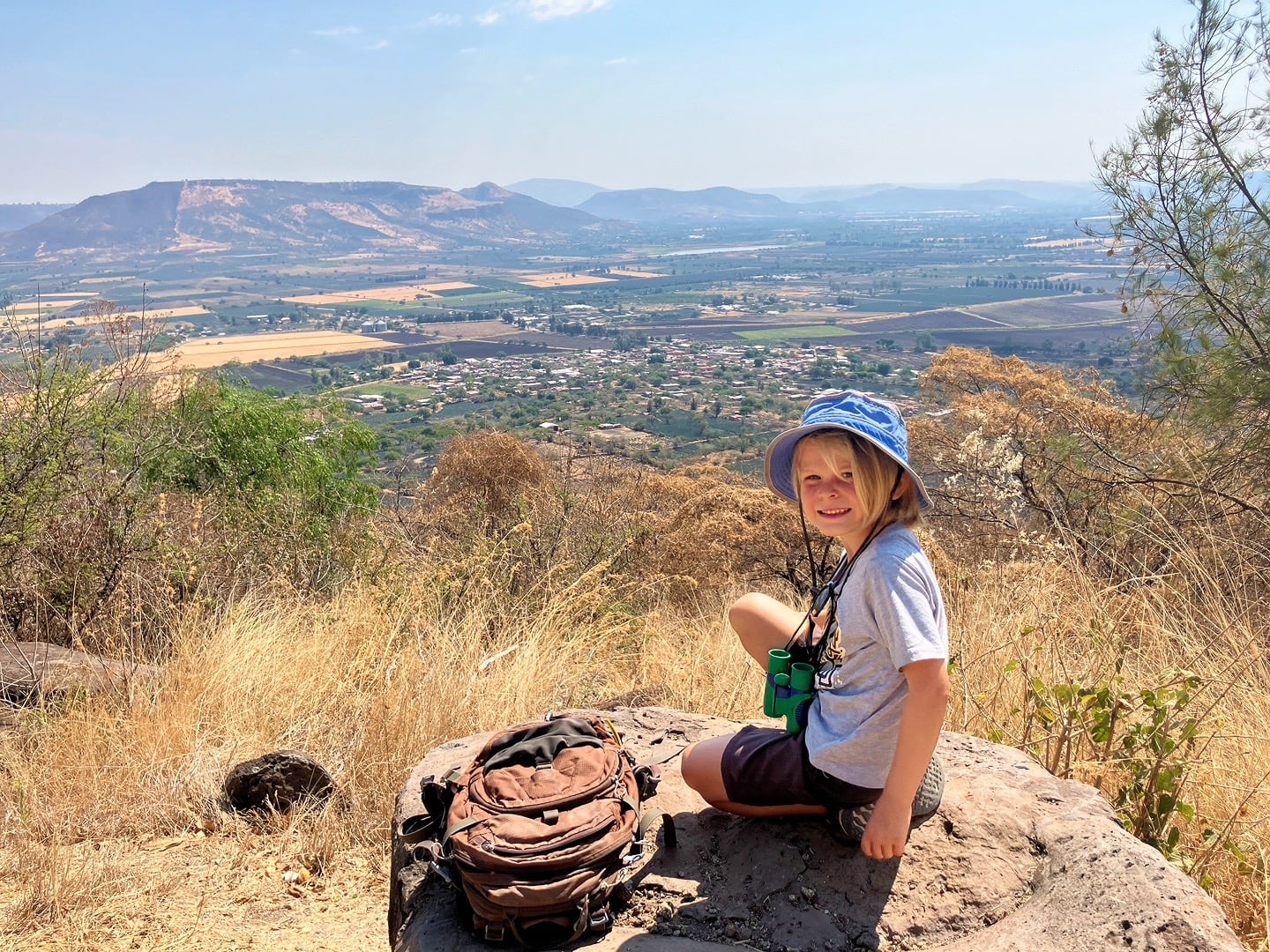
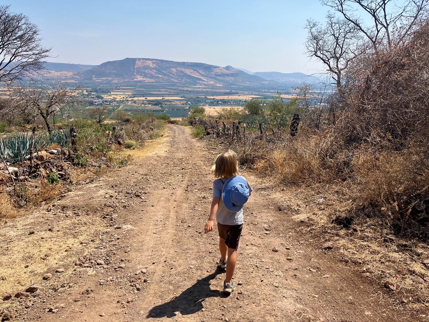
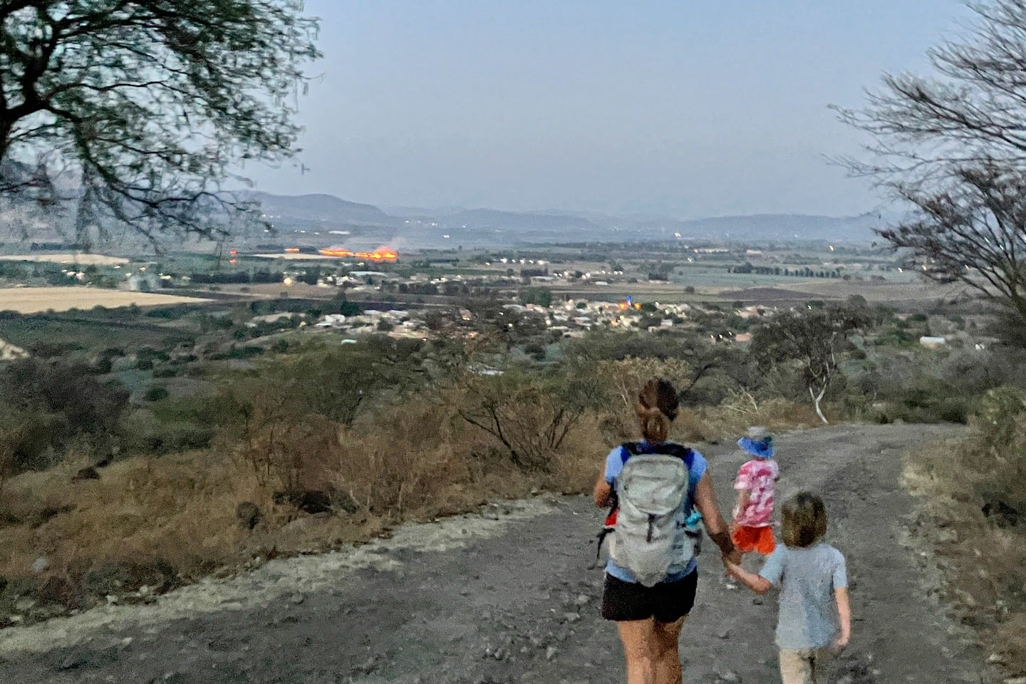
I guess Riley and I talked up the hike so much that the very next day, Lori and Noe wanted to repeat the 3.5-mile pilgrimage at sunset.
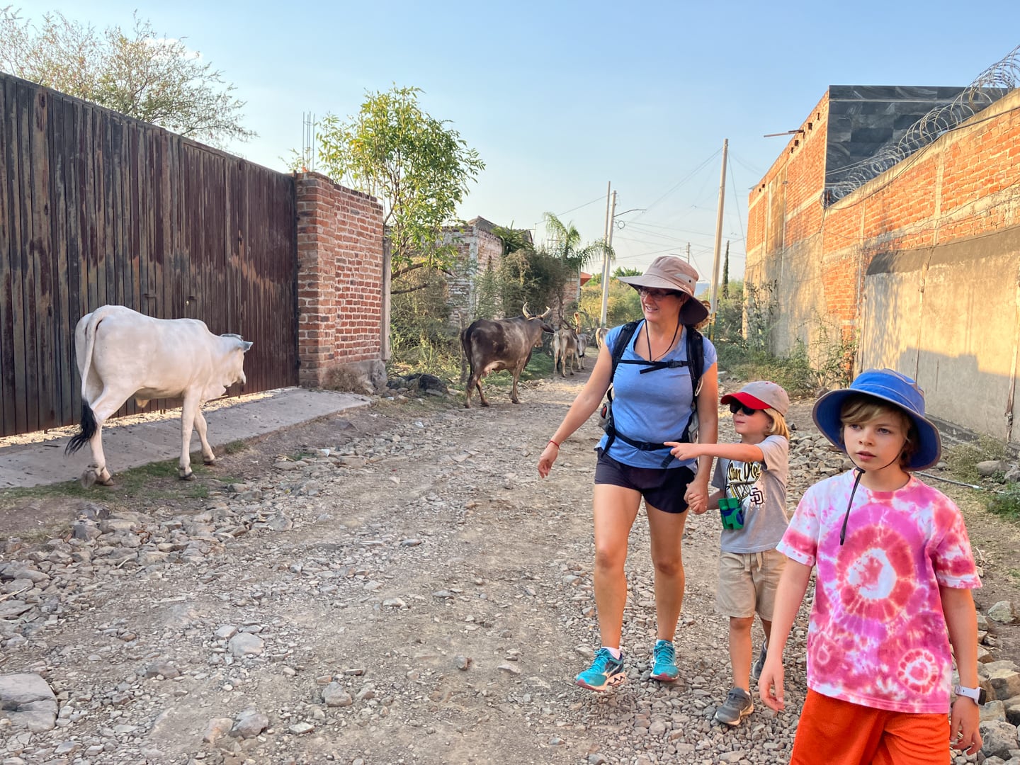
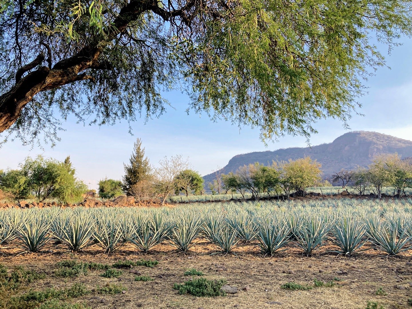
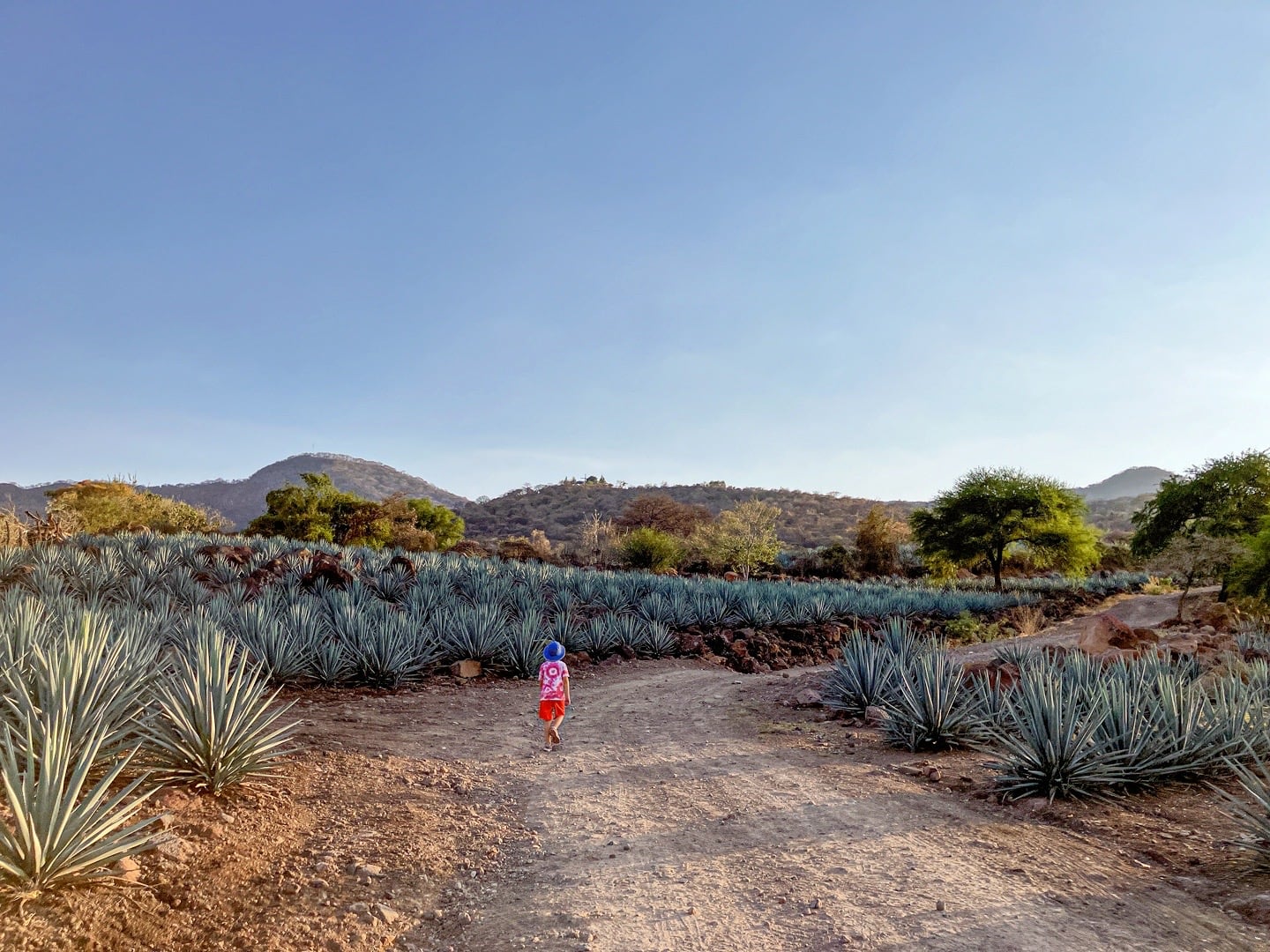
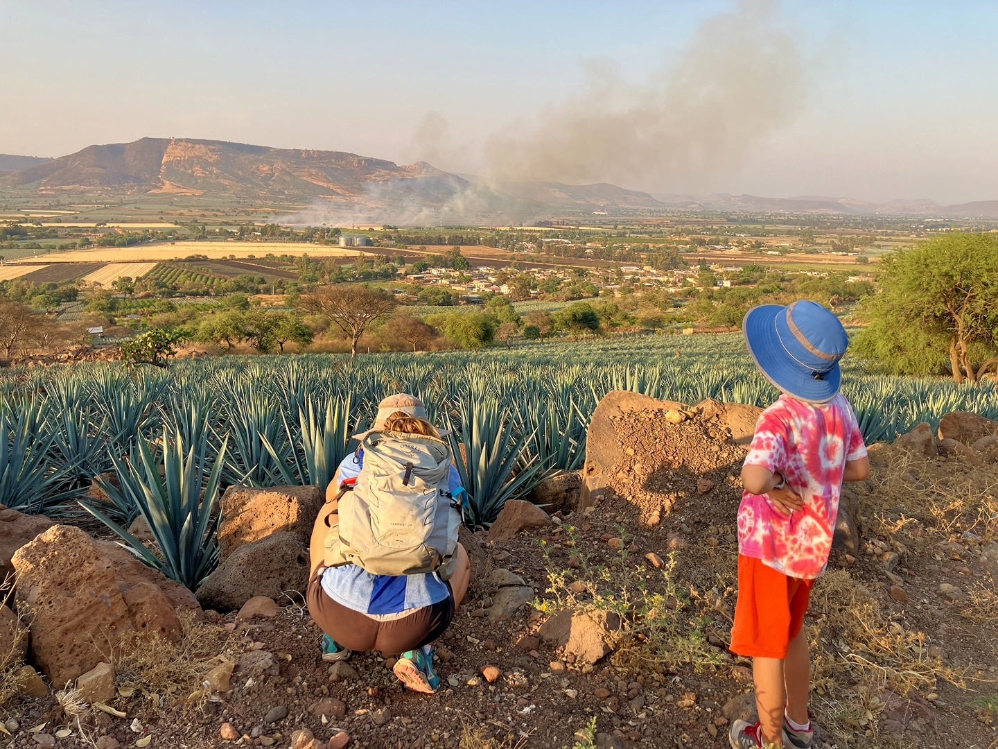
Those are not firebombed buses down there, fortunately. It’s slash and burn season here in Jalisco, a sign that the rains are just around the corner.