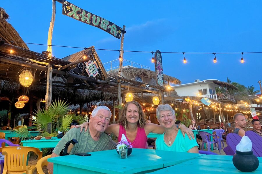
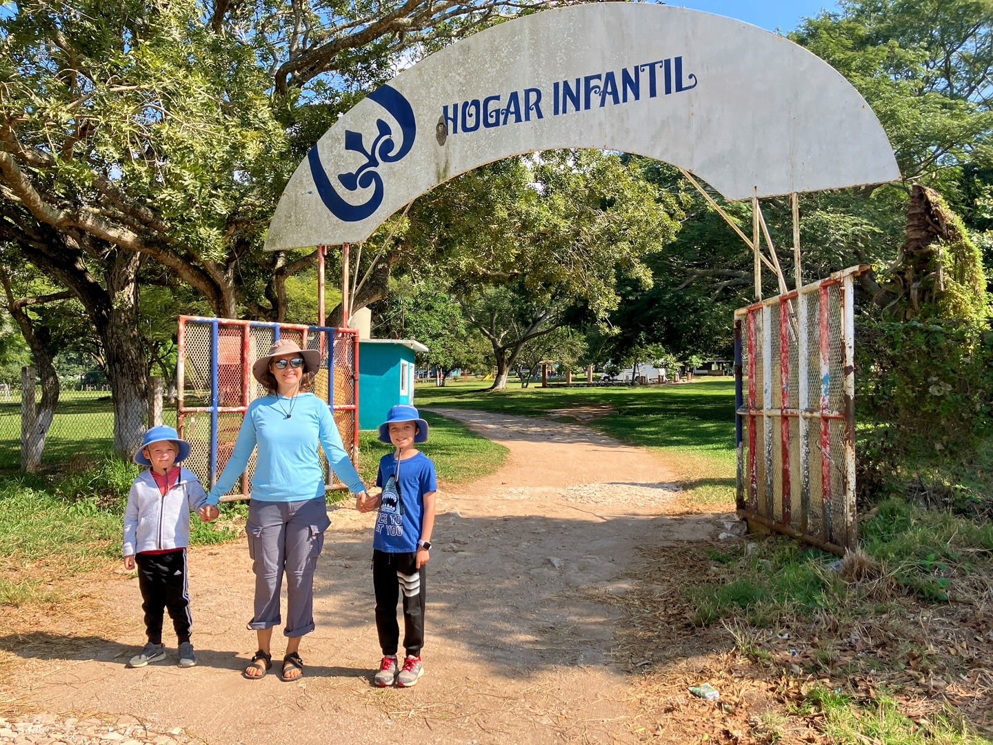
I wanted to reach San Cristobal de las Casas in one go for a few reasons—one being that I just wasn’t sure how I felt about staying at an orphanage (hogar infantil).
After our little battery mishap (still trying to figure out that one), it was evident I wouldn’t have a choice where we stayed—the orphanage in Ocozocoautla de Espinosa (commonly referred to as the infinitely easier to pronounce ‘Coita’) was the only reasonable option.
We weren’t sure what to expect. Would they have hookups? Would it be awkward? Would we have kids swarming us night and day?
Our Mexico-USA RV Journey 2024-25
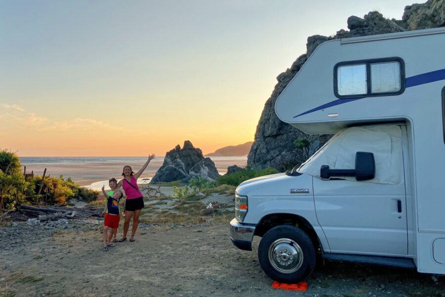
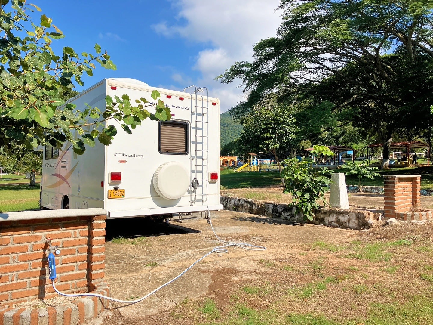
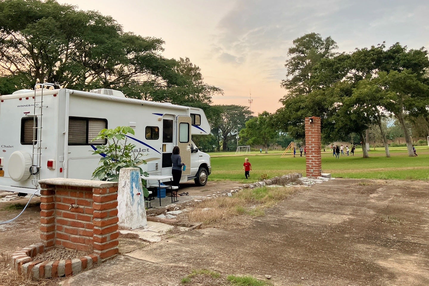
We arrived just before sunset at a surprisingly well-maintained property. It was clear they had a pretty bang-up team of groundskeepers and had recently invested in their RV infrastructure.
There were a half dozen paved sites with full hookups. The power was a bit wonky, and we had to find someone to turn on the water pump. Besides that, it was one of the better setups we’ve had in a long time.
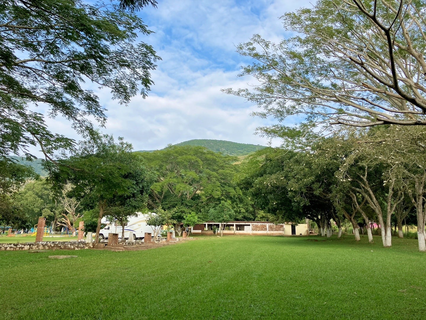
The RV section is set 100 meters from the main buildings of the orphanage and there is a large field with a playground.
We got the sense that enough rigs come through here that the center has either established some ground rules, or the novelty has worn off. Either way, weren’t approached by any of the kids the first night.
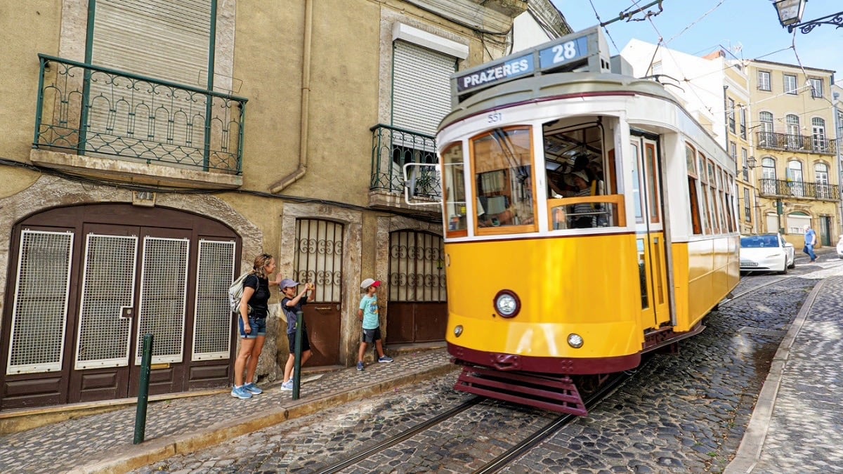
Noe and Riley were hoping to have some new buddies to play with, but everyone had already moved to the dining hall by the time we arrived.
Maybe tomorrow.
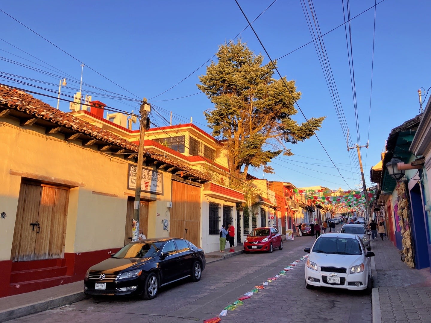
I thought it might be easier to arrive in San Cris on a Sunday, and Coita (where we are now) is a Pueblo Magico. So, it made sense to stay a couple of nights and check things out.
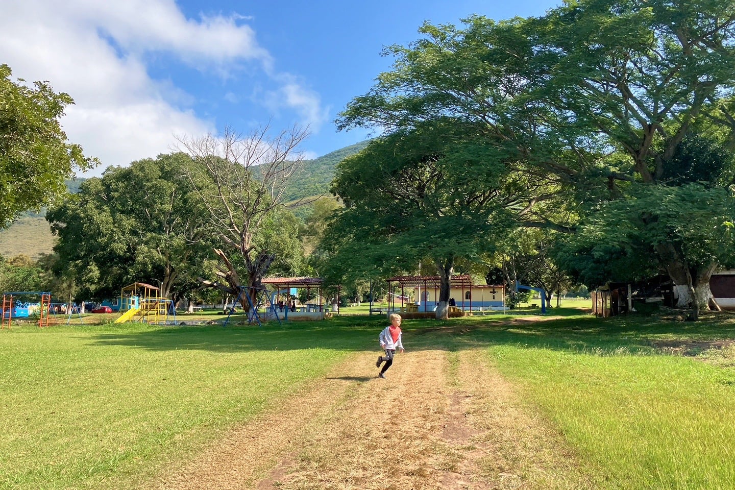
After a quick run-around, we made our way into town.
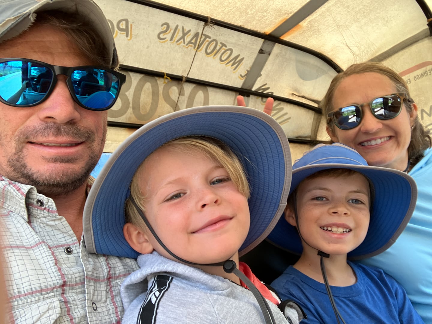
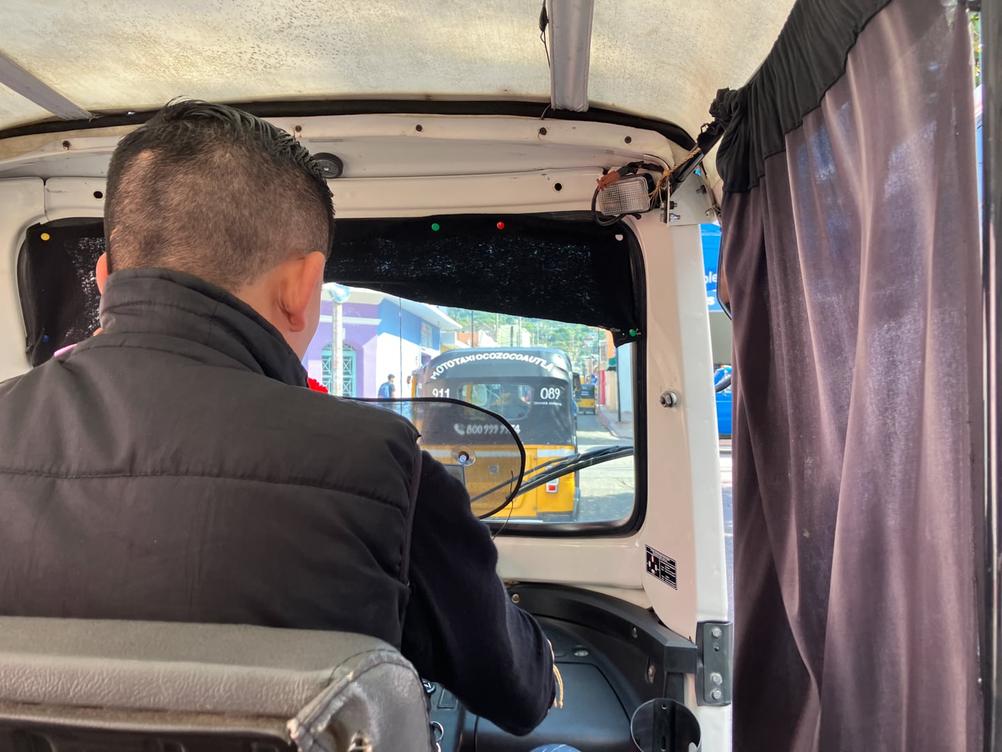
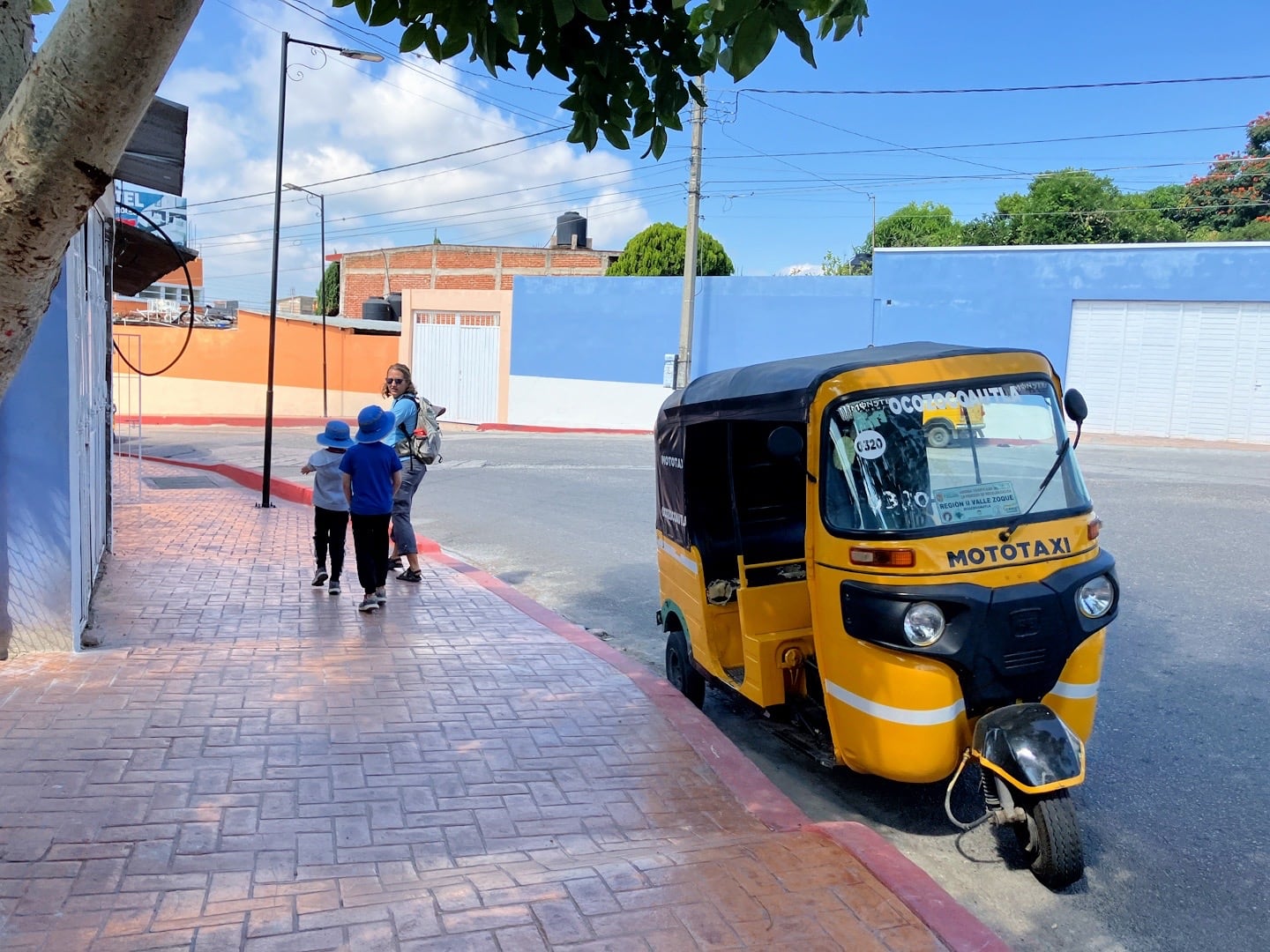
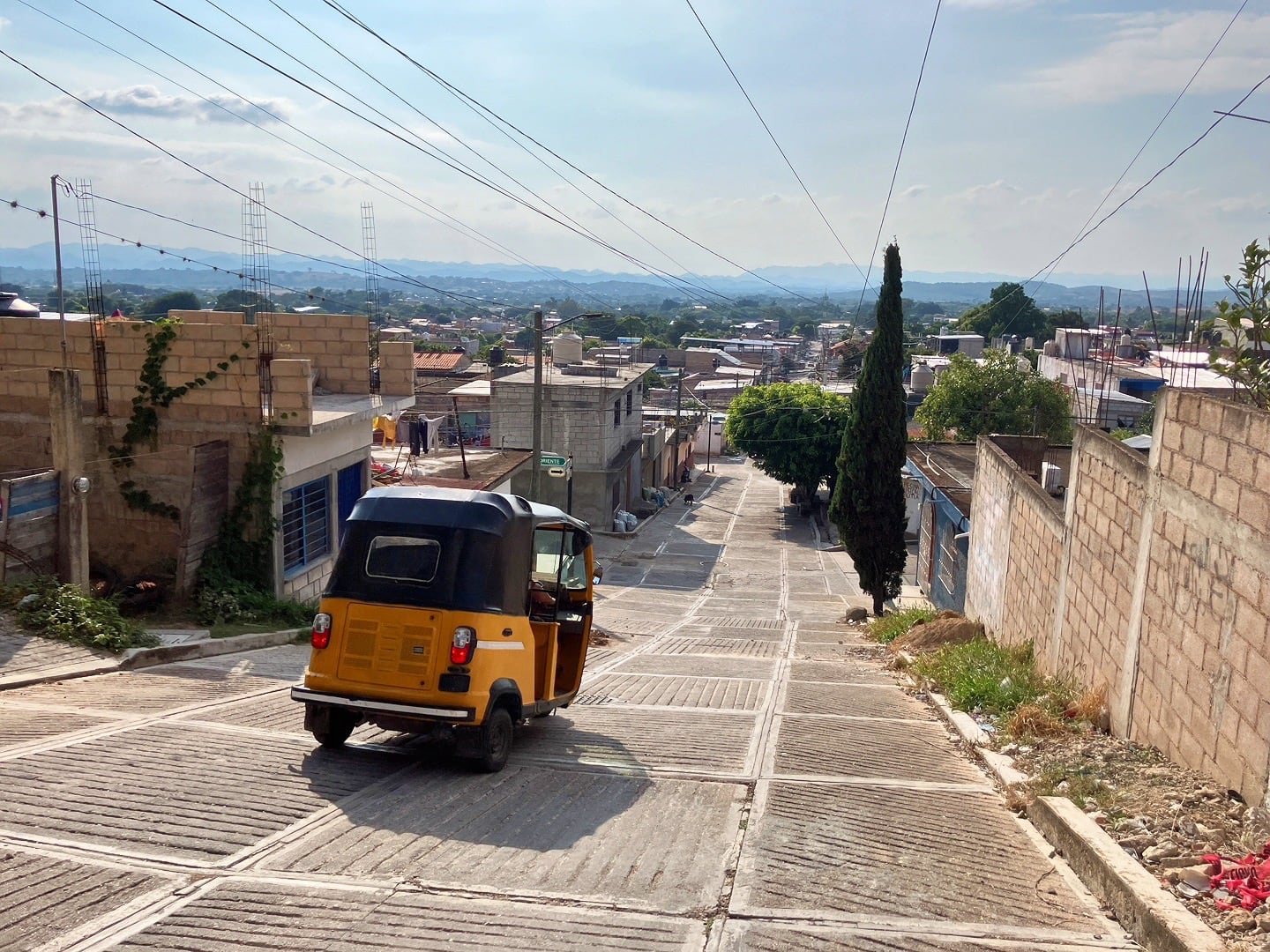
Tuk-tuk (mototaxi) is the main way people get around here. So far, the only other place we’ve seen this in Mexico is in Tlacolula outside of Oaxaca City. Zippy and efficient.
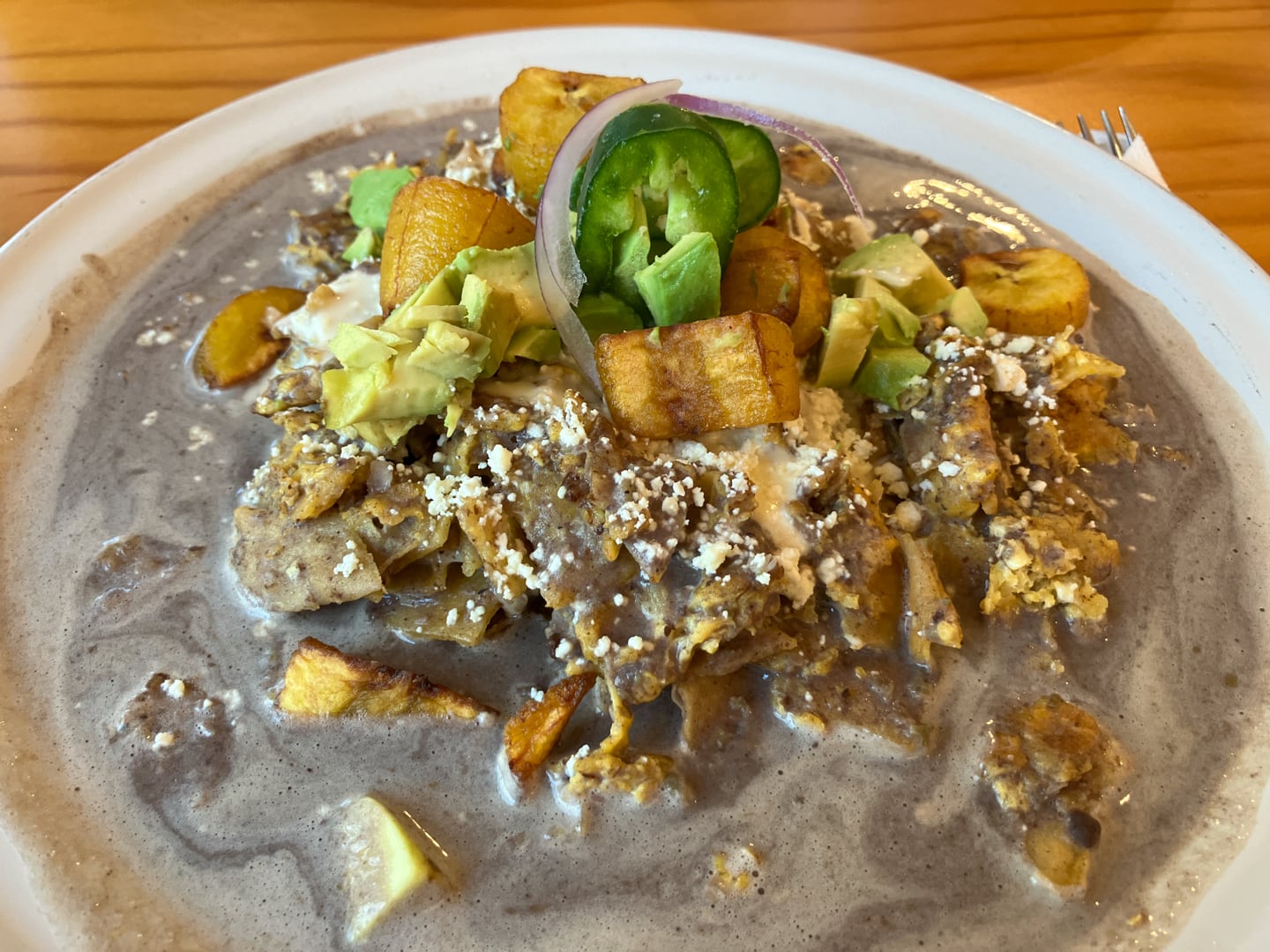
Four years living in Mexico and Lori finally gets her Migas. A very tasty and filling breakfast! I’m sure it’s also super healthy too.
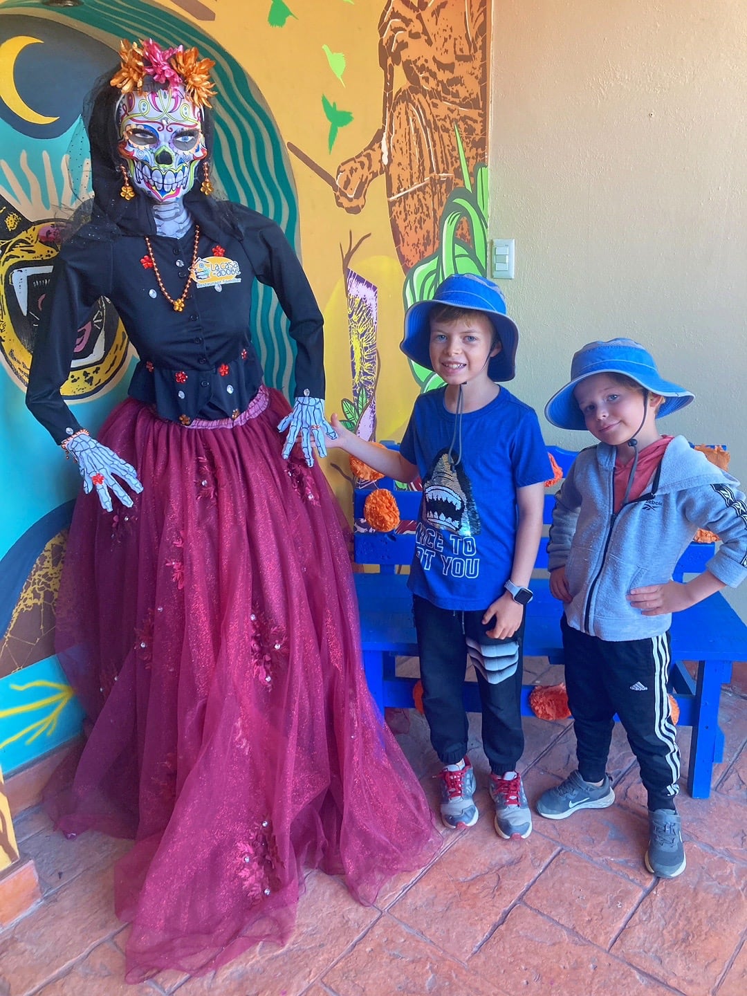
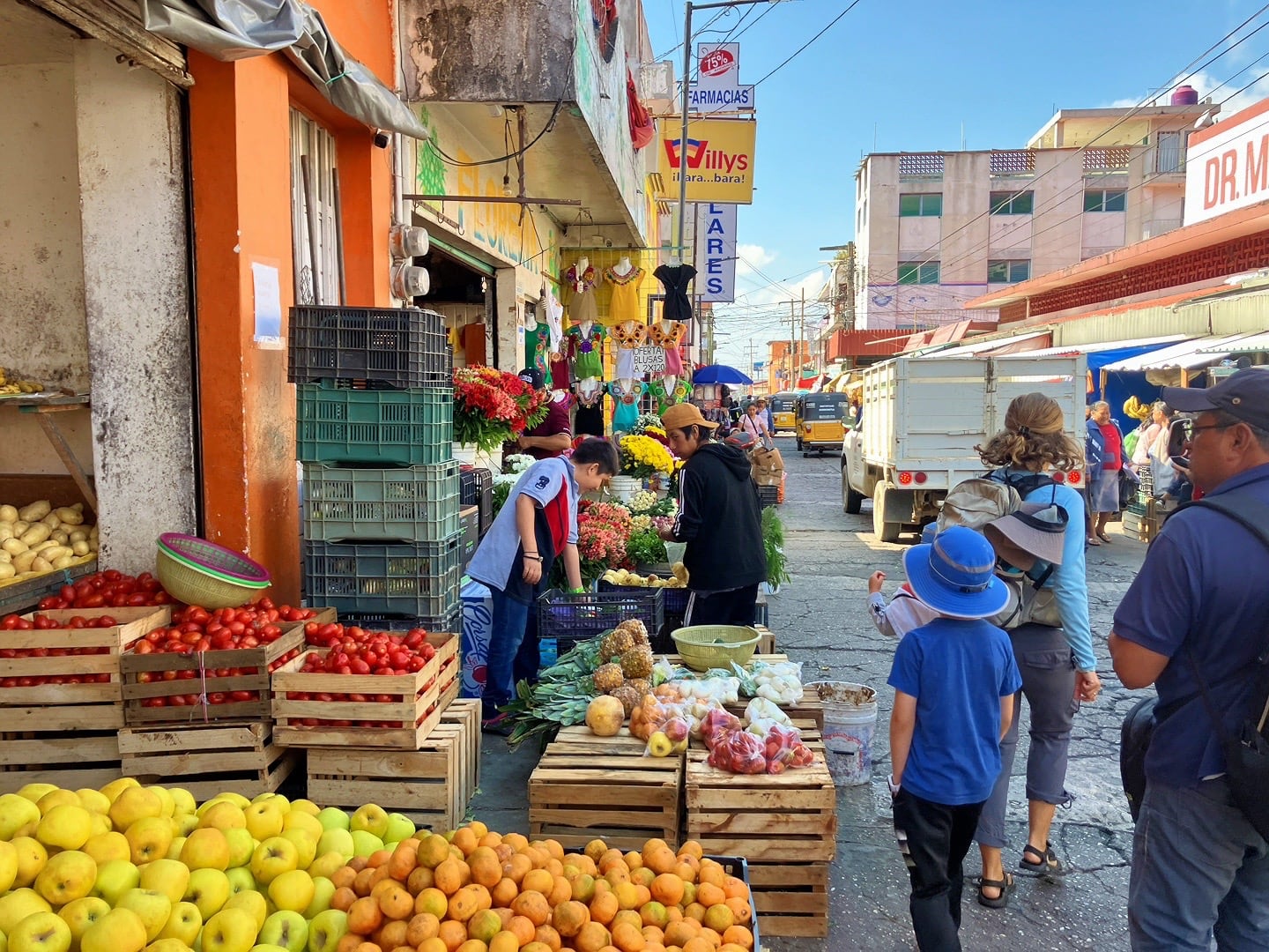
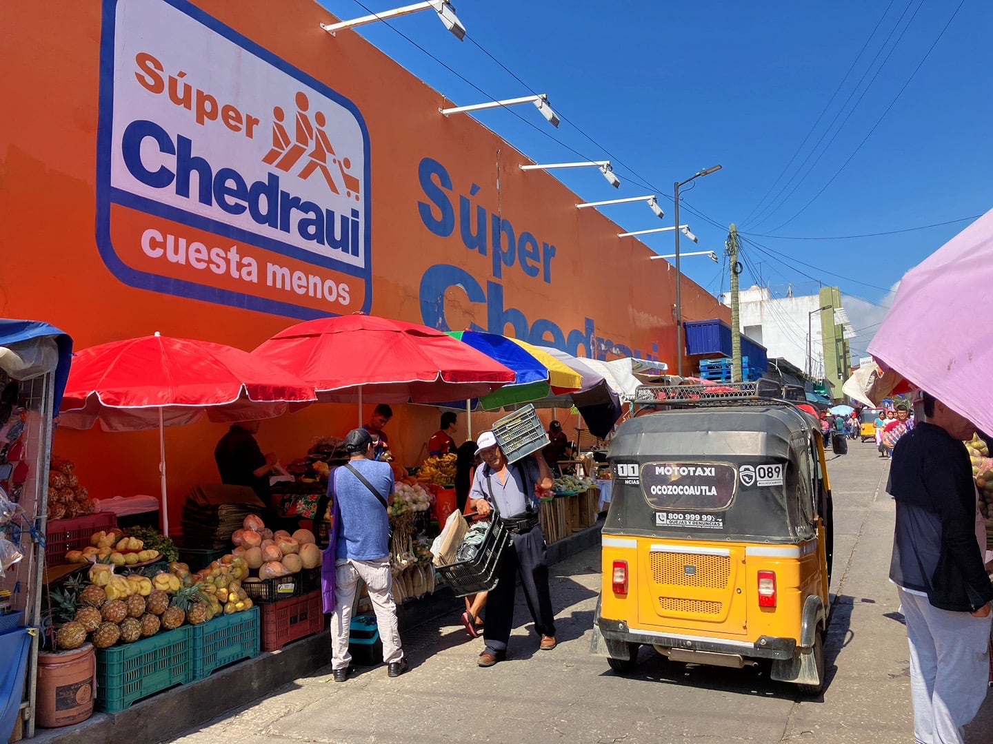
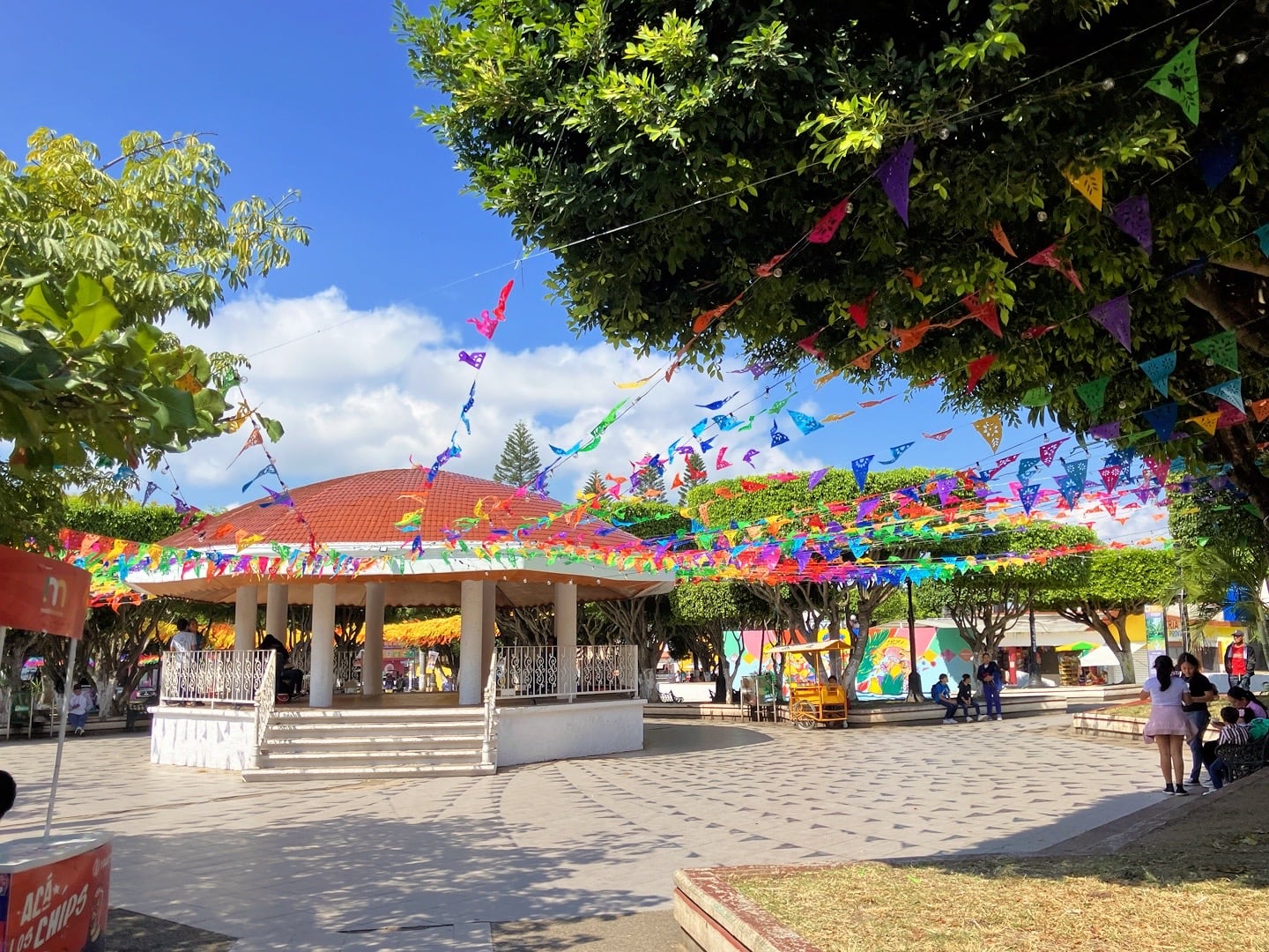
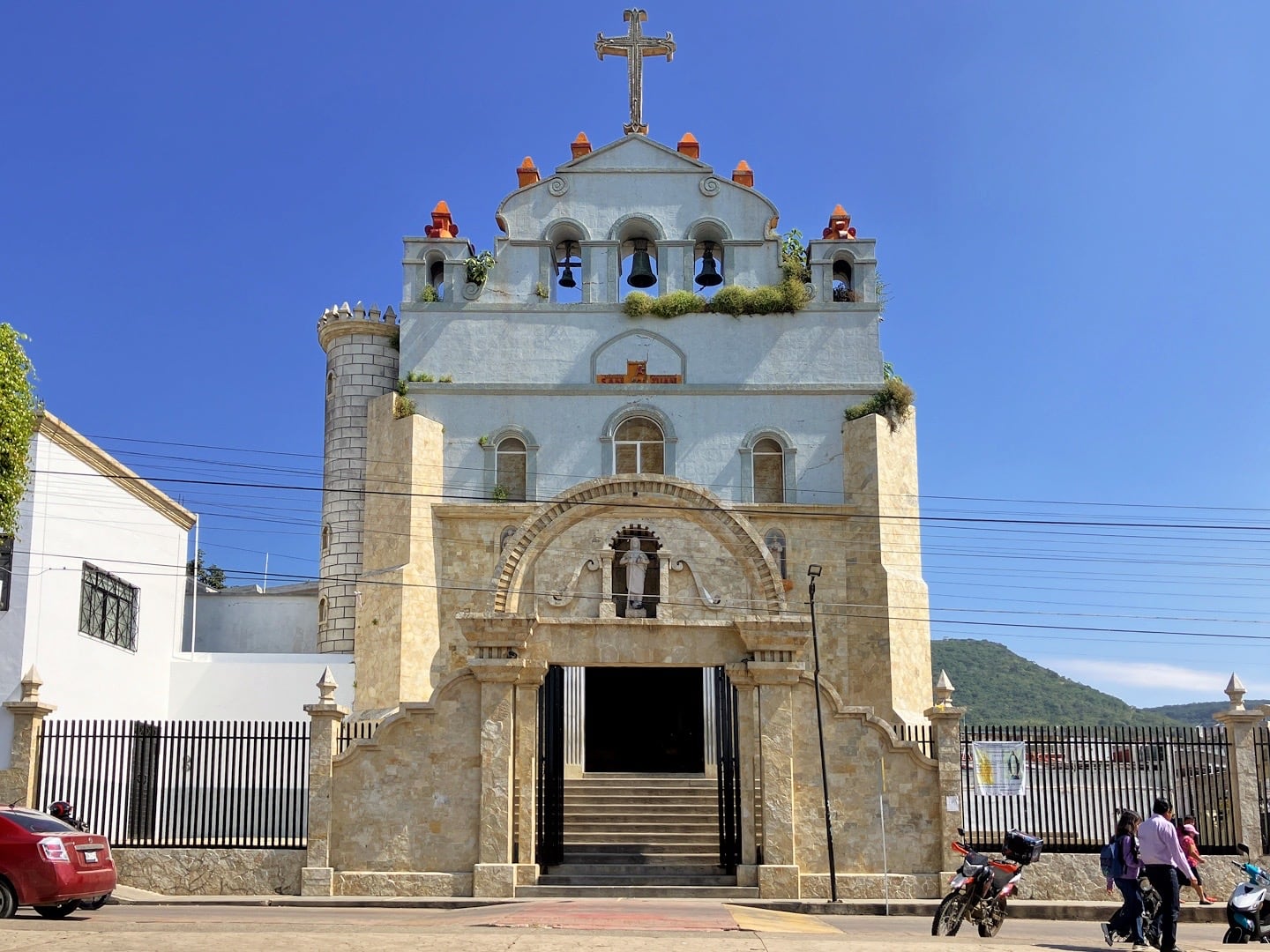
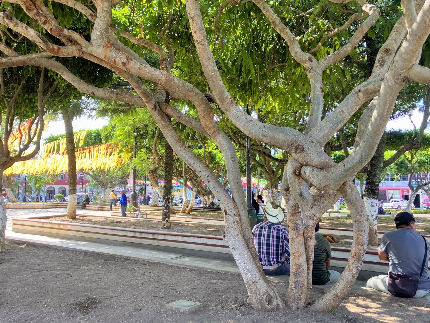
Coita is a pleasant enough highlands town, but compares in no way to the likes of Pueblos Magicos such as Patzcuaro or Cholula.
We hear the real draw of this place lies 20km outside of town at an eco-reserve called El Aguacero, which is where we’re headed now.
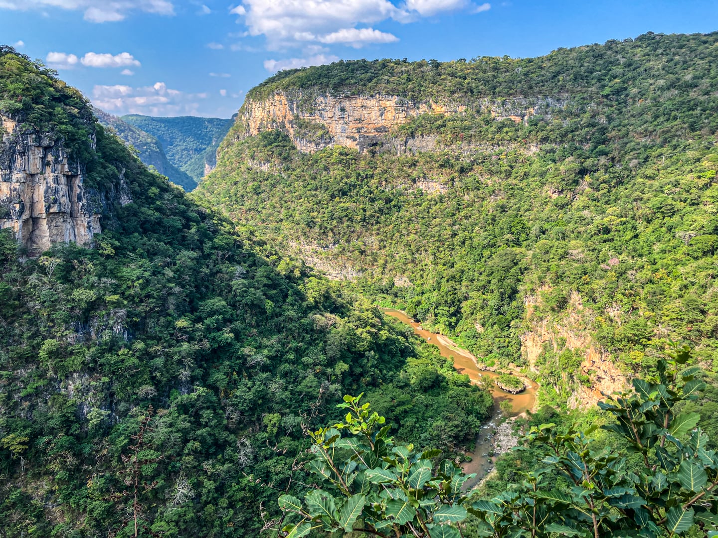
El Aguacero (The Downpour) is billed as a stunning waterfall cascading into a narrow and dramatic canyon, accessed by descending over 700 stairs.
The reserve isn’t difficult to access, but does involve two separate mototaxis. The first leg runs along the main highway and gets you to the turn off. The second leg takes you the rest of the way to the park.
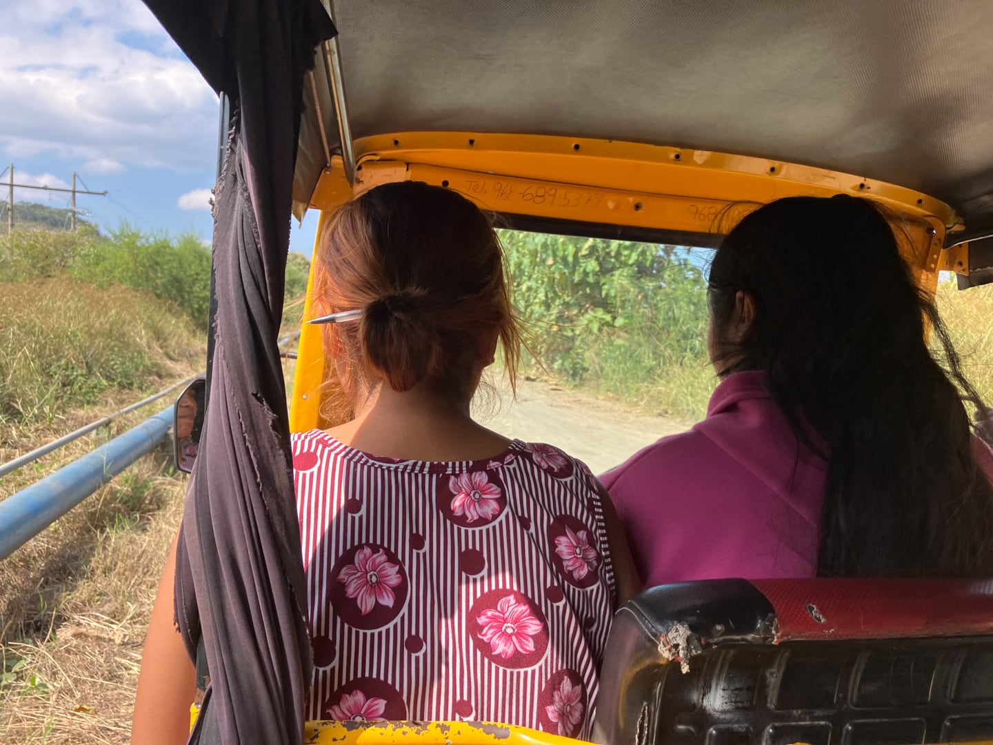
For the second leg, we got a student driver and her mom, which normally wouldn’t have been a big deal.
I didn’t think twice about it lumbering along on the flat dirt road leading from the highway…until we rounded a corner and suddenly found ourselves descending steeply down a rough track inches away from a 1,000-foot drop on our left.
With each slip of the tire and “Oh…” from our young driver, I could literally feel the grey hairs multiplying on my head. It’s been years since I’ve felt this uneasy in a public taxi.
We did eventually reach the parking lot safe and sound. Nevertheless, I vowed to walk back up the hill on the return journey before taking another ride from a student driver again.
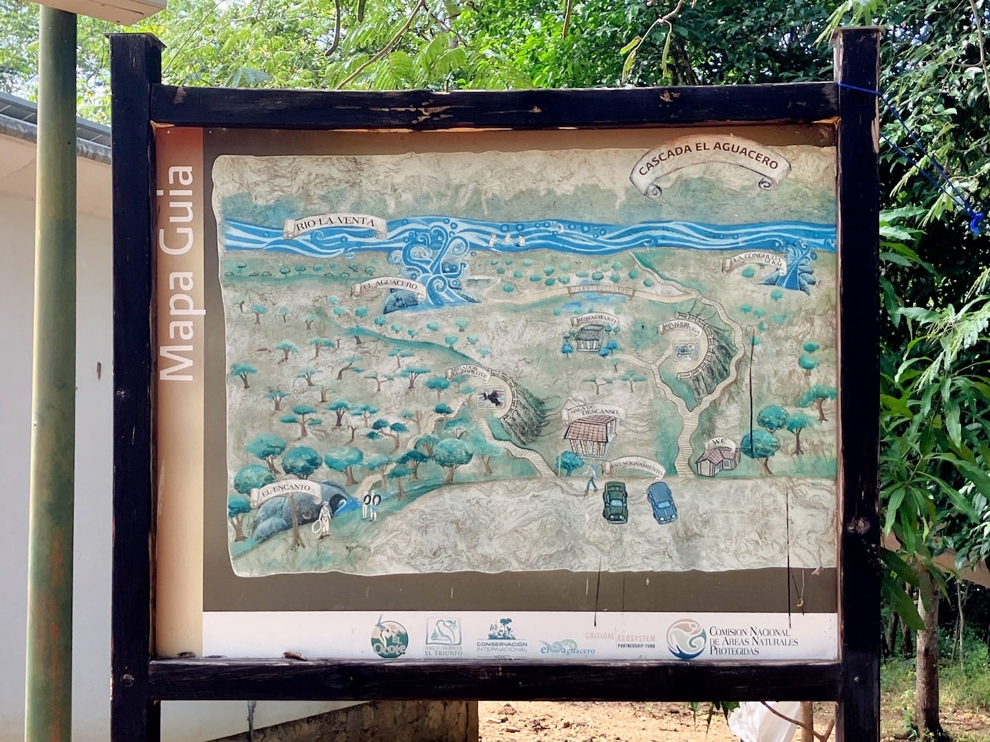
The thing about El Aguacero is that the harrowing tuk-tuk journey only gets you about half way down into the canyon. From here, we’ve still got 700 more steps down into the canyon.
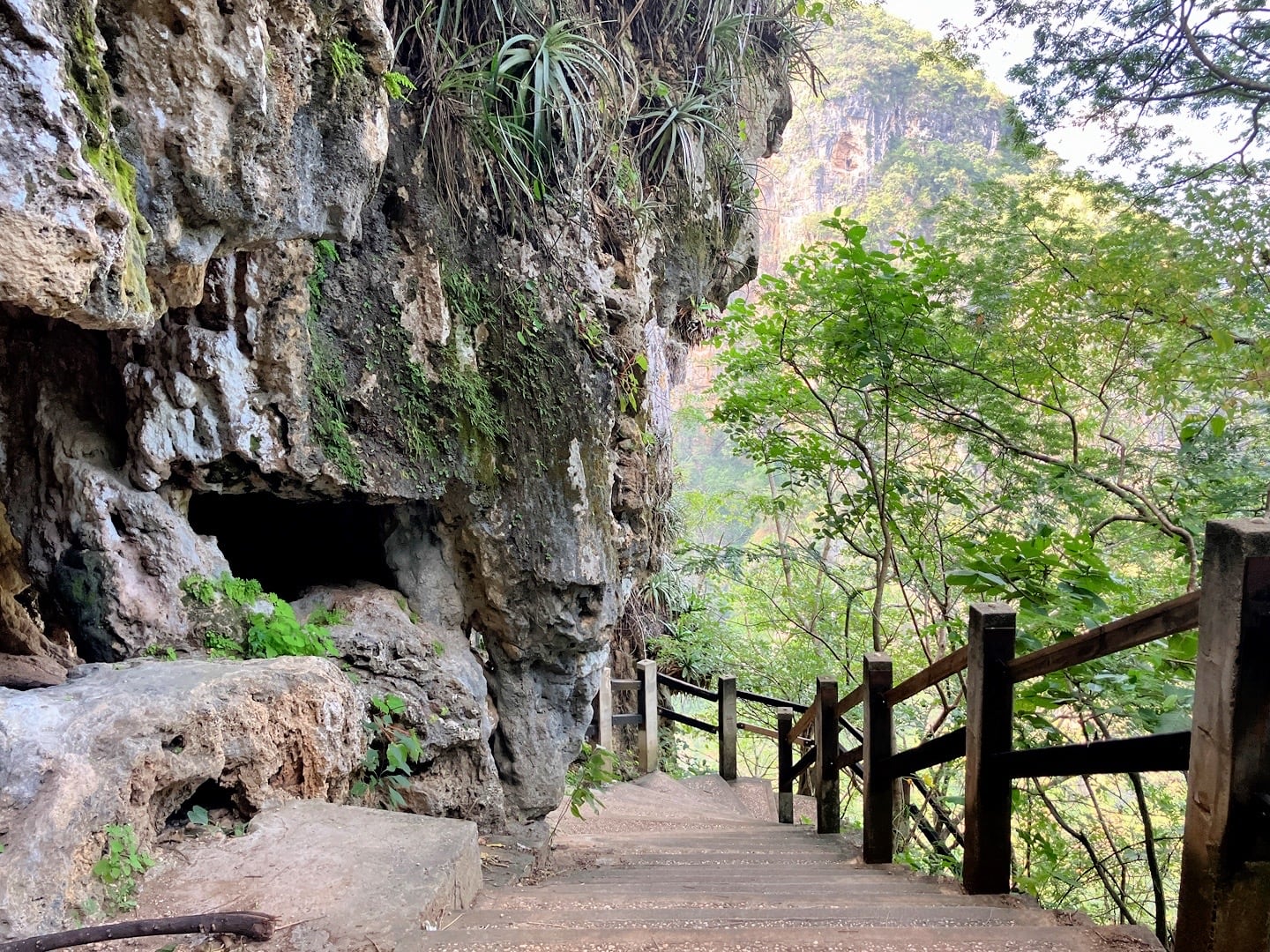
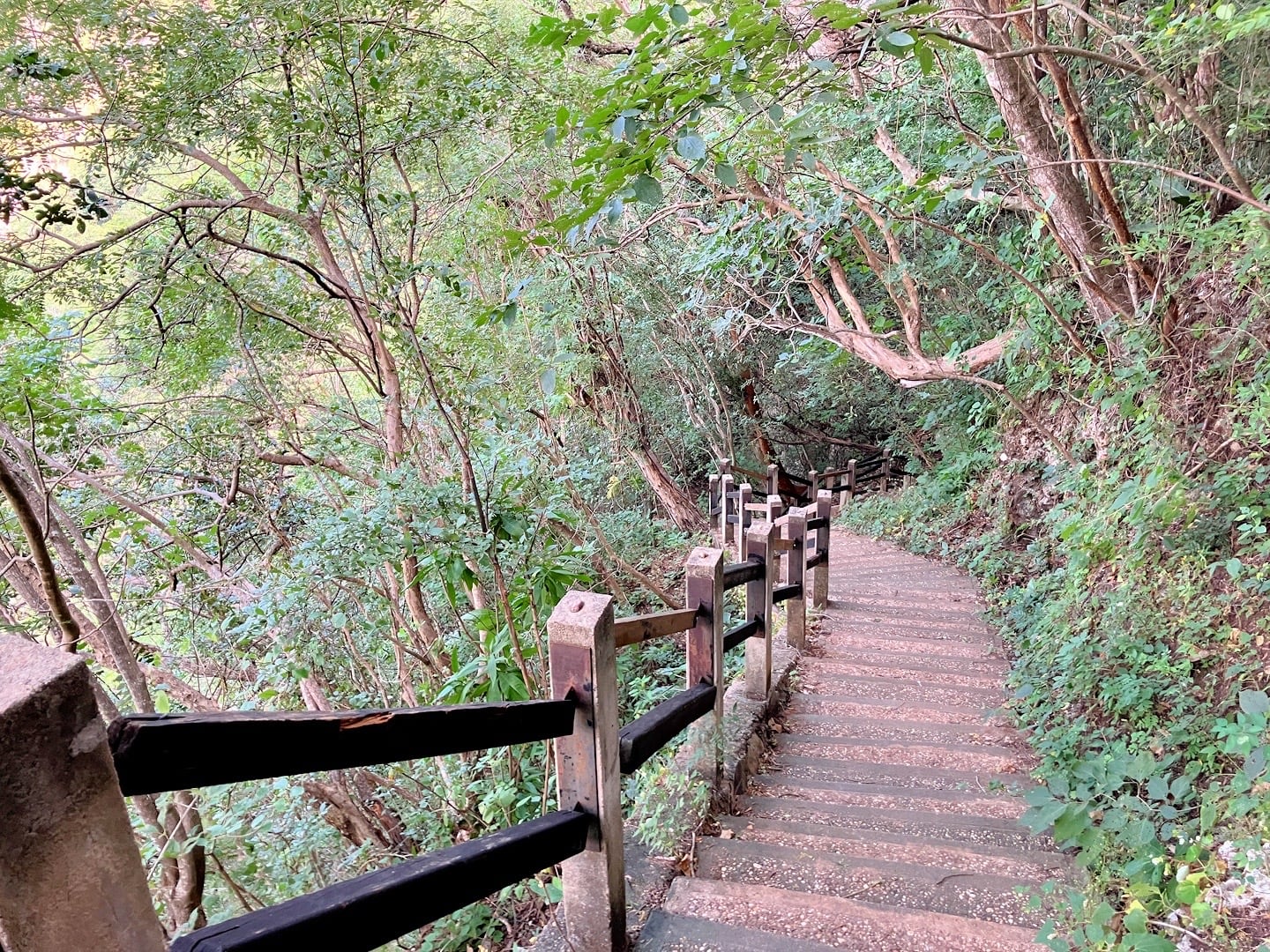
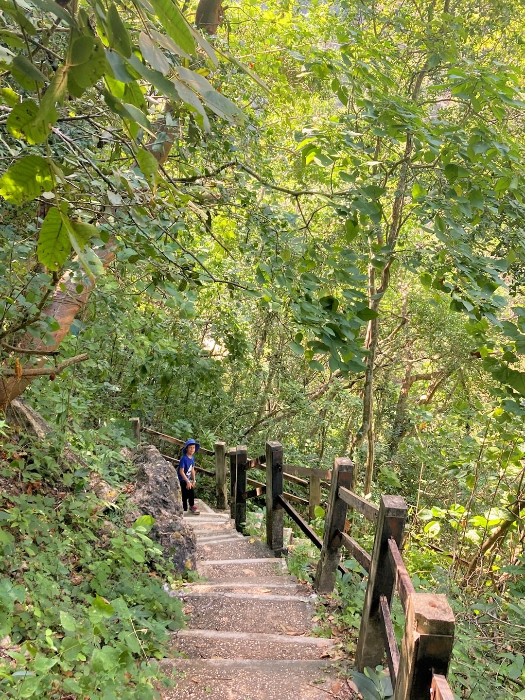
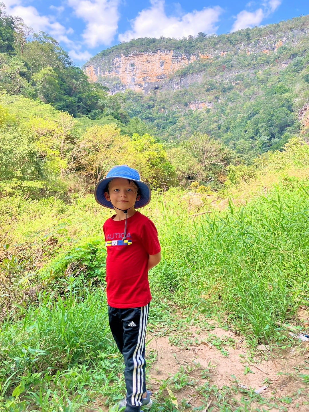
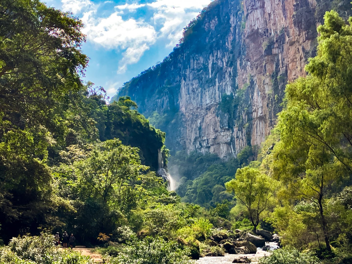
With knees shaking, we reached the bottom of the canyon. We could see the first set of falls in the distance and started to make our way towards them.
We’ve been told that in the dryer months, the falls can easily be accessed by walking along the river bank. Here at the tail end of rainy season, the river was too high for that, which forced us to try accessing the falls via an alternative route.
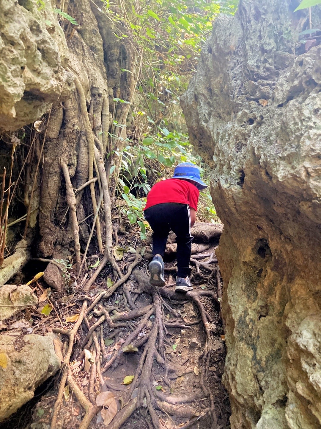
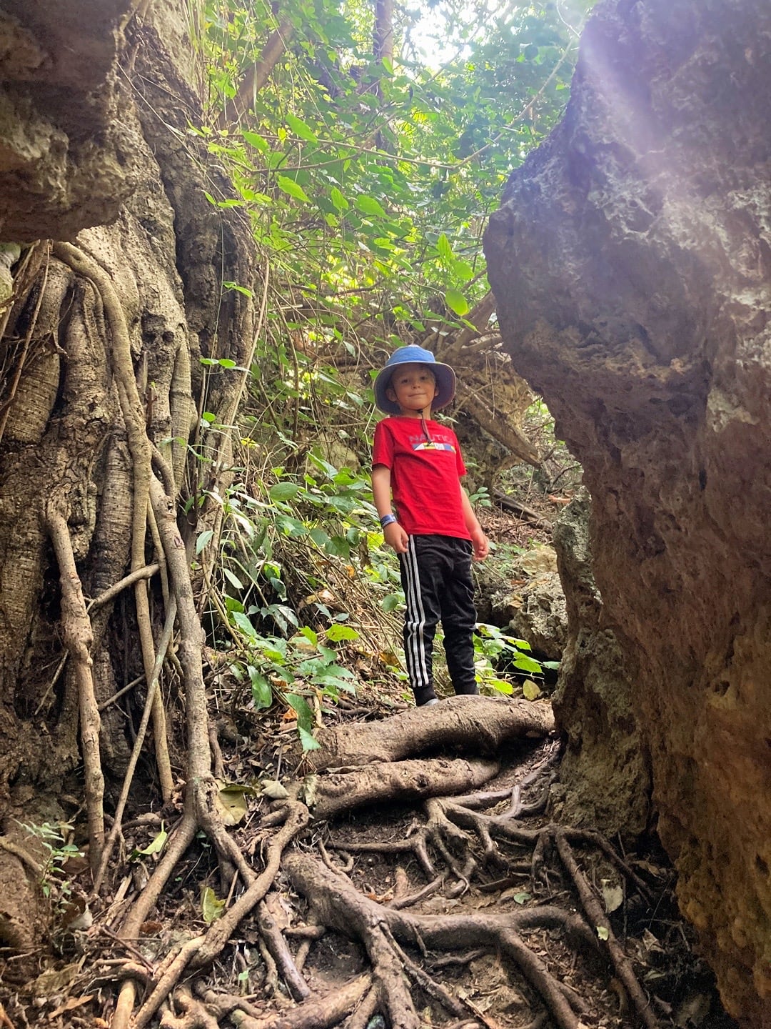
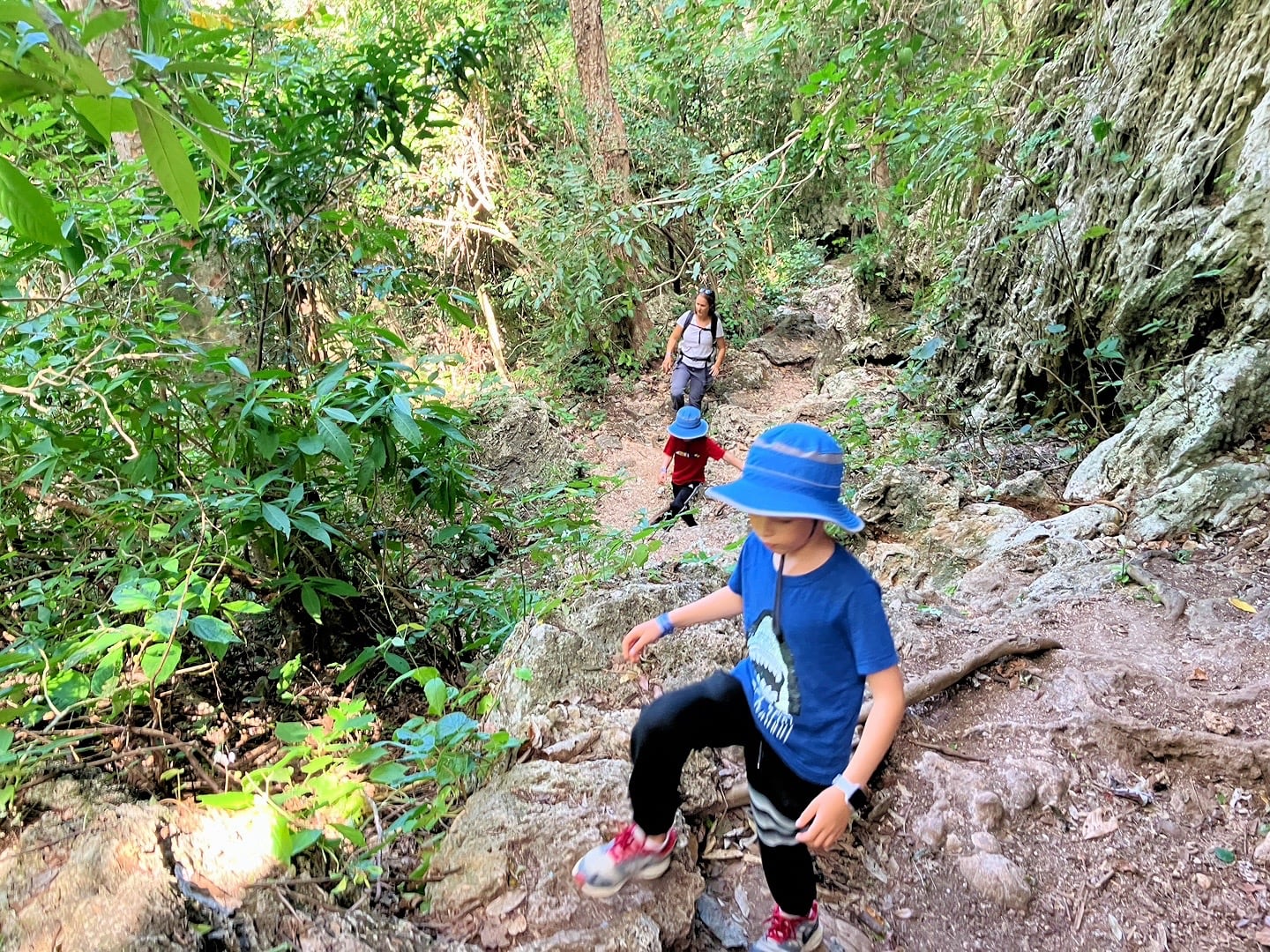
The hike was slow-going, constantly dealing with steep, rocky terrain, tight squeezes, and lots of gnarly roots.
Just when we thought we were getting close, we passed a couple of hikers coming from the opposite direction. They had tried to reach the falls but were ultimately unsuccessful, owing to a large portion of the trail having been wiped out by a recent mudslide.
We figured it was a good time to turn around. Back up the steps we go.
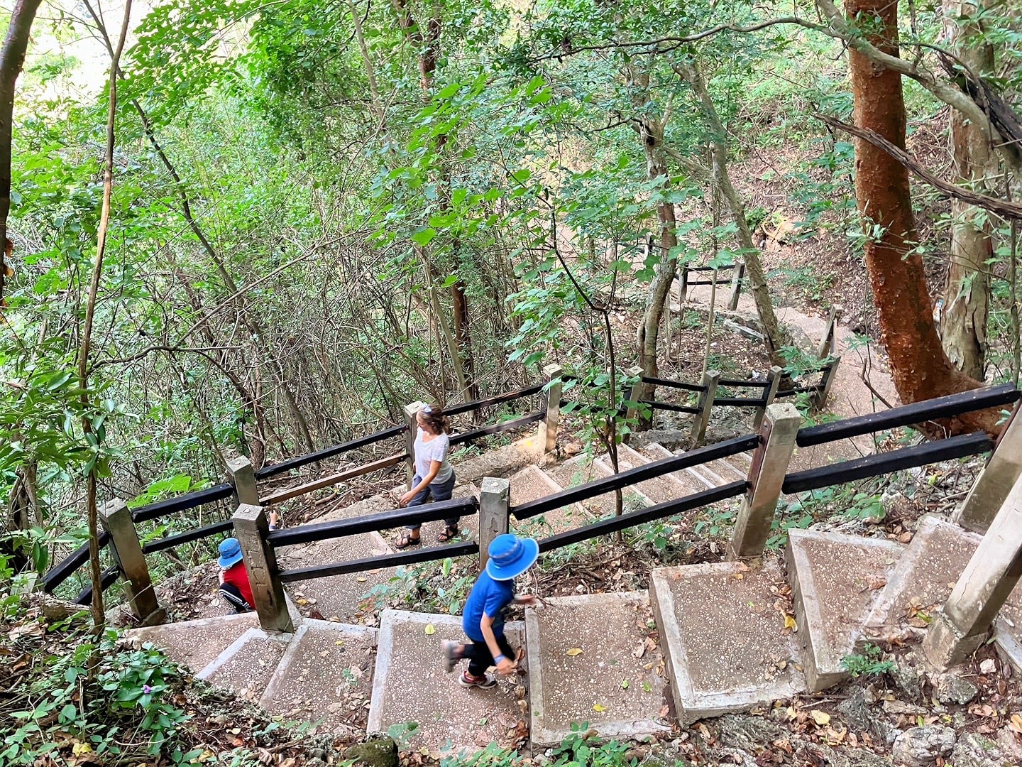
When we reached the top, our legs were killing us. Between our town explorations in the morning and our descent/ascent in and out of the canyon, we were spent.
The couple in front of us snagged the first tuk-tuk back to the highway, which was the mother-daughter duo.
You can have it—we’ll gladly catch the next one, I thought.
Ten minutes later, a second tuk tuk finally rolled up. This time, piloted by two brothers who looked to be a few years older than Noe and Riley. Seriously?
My legs were practically Jell-O at this point, so I simply had to hope that this 12-year-old flying solo had more experience than our previous teenage trainee.
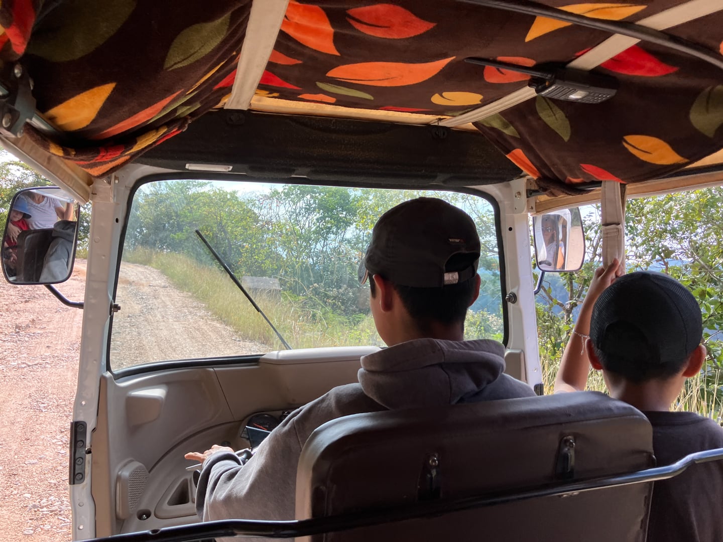
It was slow going up the mountain with an underpowered tuk-tuk not equipped for hauling six people up a steep grade. But we eventually made it back to the highway, and after several minutes of waiting, managed to flag down a colectivo heading in the direction of town.
Nearly an hour (and several stops) later, we were back in Coita.
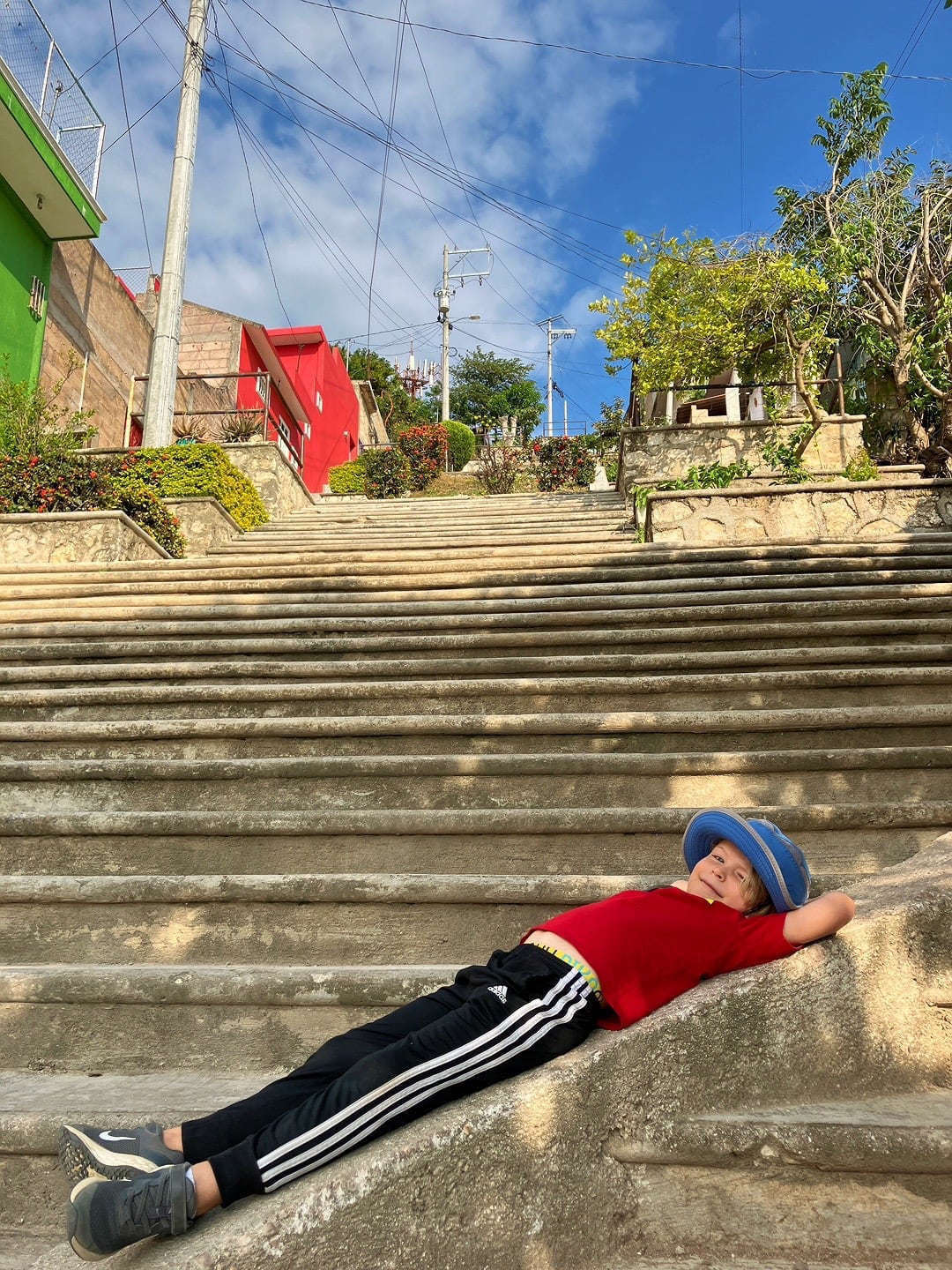
I’m not sure what we were thinking at this point. I guess the tuk tuk and colectivo rides were just enough to give our legs just enough rest to head up to the town mirador (viewpoint), because that’s exactly where we headed next.
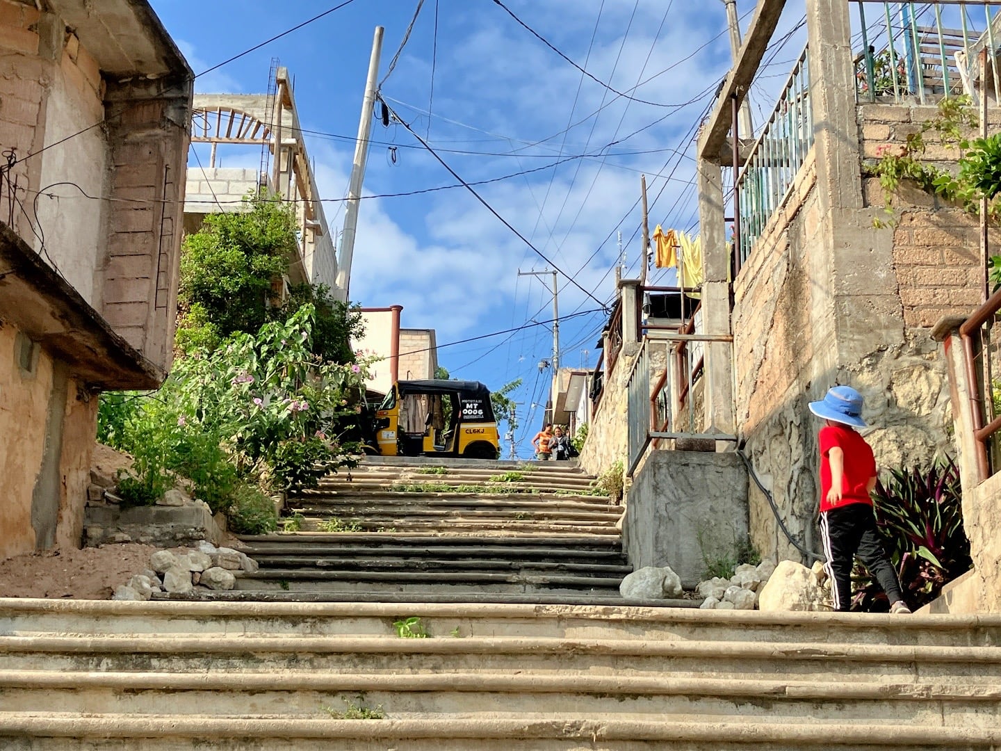
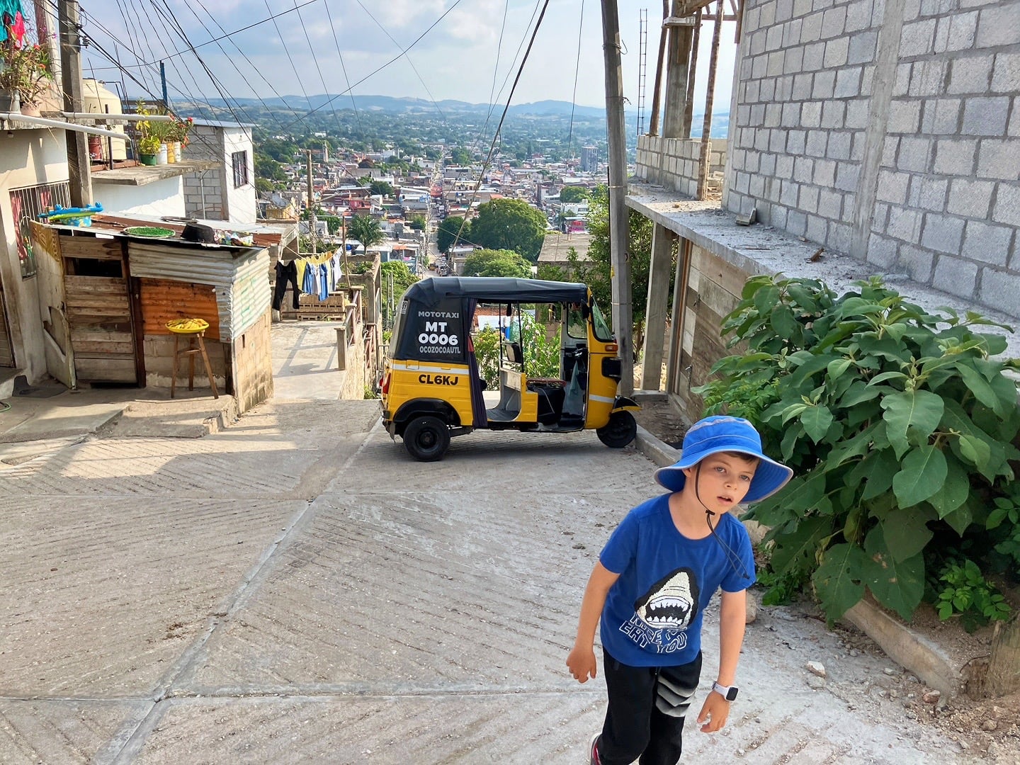
The boys are usually good sports, but I think they were beginning to voice their displeasure with our choice of afternoon activity. I don’t blame them.
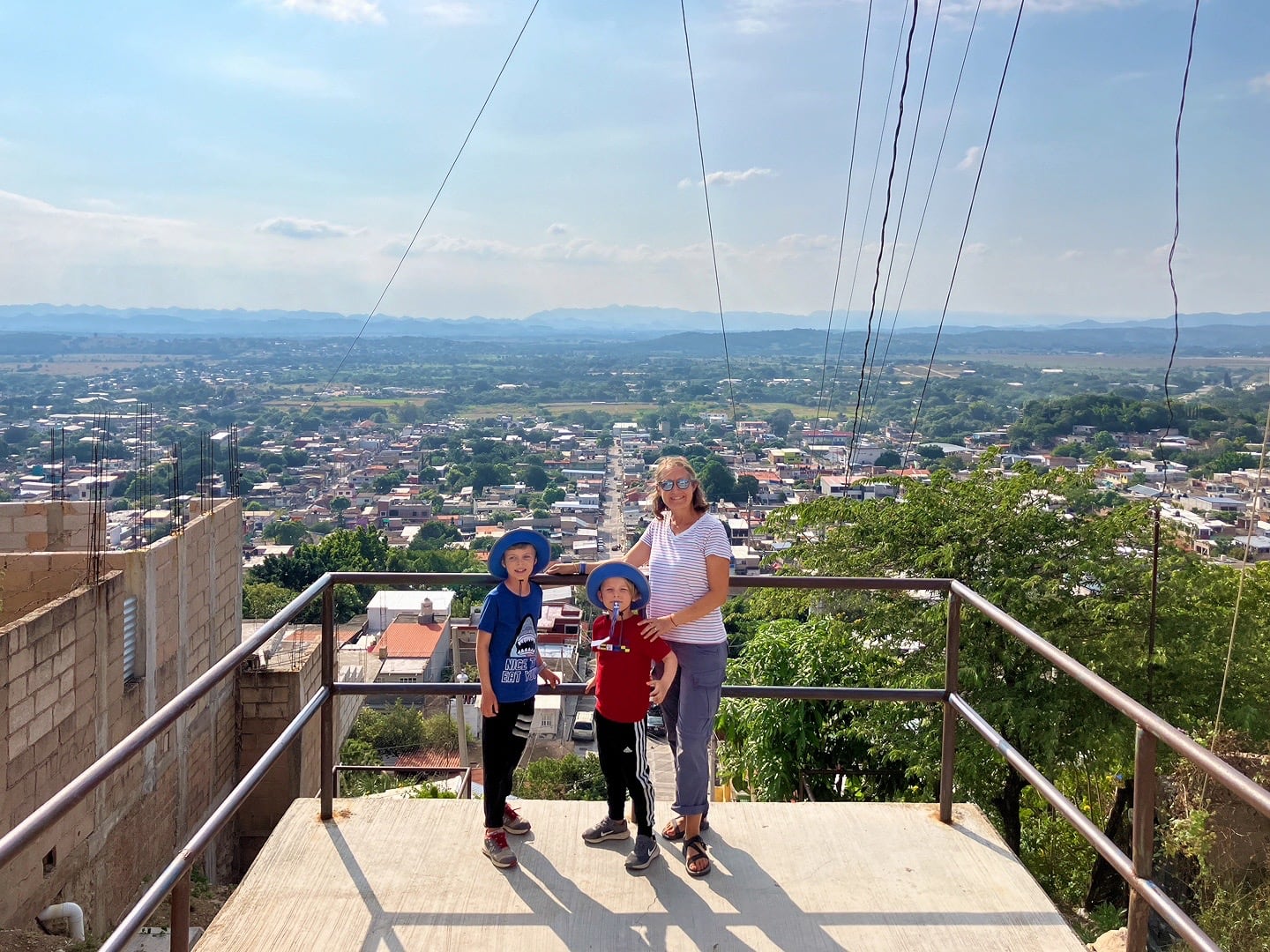
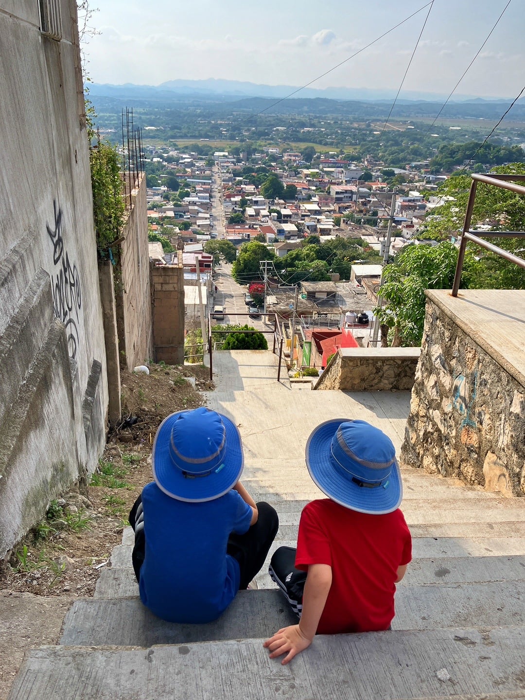
Was it worth the climb? Probably not. But we were out of ideas for things to do in Coita and weren’t yet ready to head back to the Hogar.
We returned to the Hogar just in time for the boys to join a pick-up game of soccer.
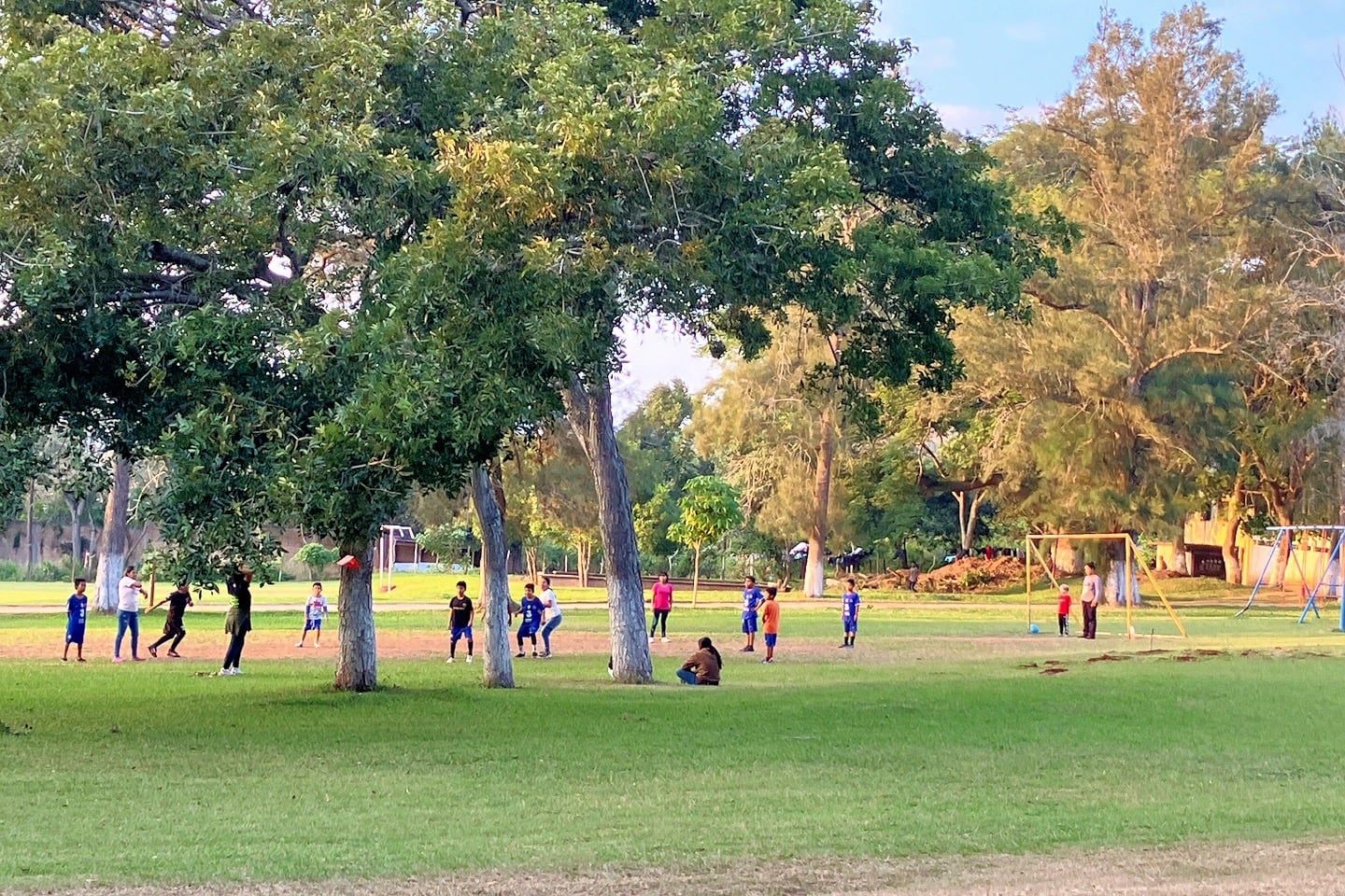
When our boys saw all the kids out playing, they didn’t miss a beat. The other kids welcomed them onto their teams and seemed quite happy to have a couple more players who spoke fluent Spanish.
It’s times like these that I wonder if any of this seems weird to our kids or if it’s just another day. Lori and I certainly take it for granted, as I don’t think most kids back in the States would feel as comfortable with approaching a group of kids they’ve never met playing soccer at an orphanage in Mexico. But I could be wrong about that.
While the boys were off playing, I tested the chassis battery that had given us problems a couple days prior.
The next morning, I tested it again. Both times, the volts were within an acceptable range.
We packed up the RV and I climbed into the driver’s seat. Holding my breath, I turned the key. The engine fired up on the first crank as it always had.
On the way out of town, we needed to stop for a propane fill, so I was forced to shut off the engine once again, but it roared back to life with no issues. So, what had been the issue outside of Salina Cruz? I was baffled.
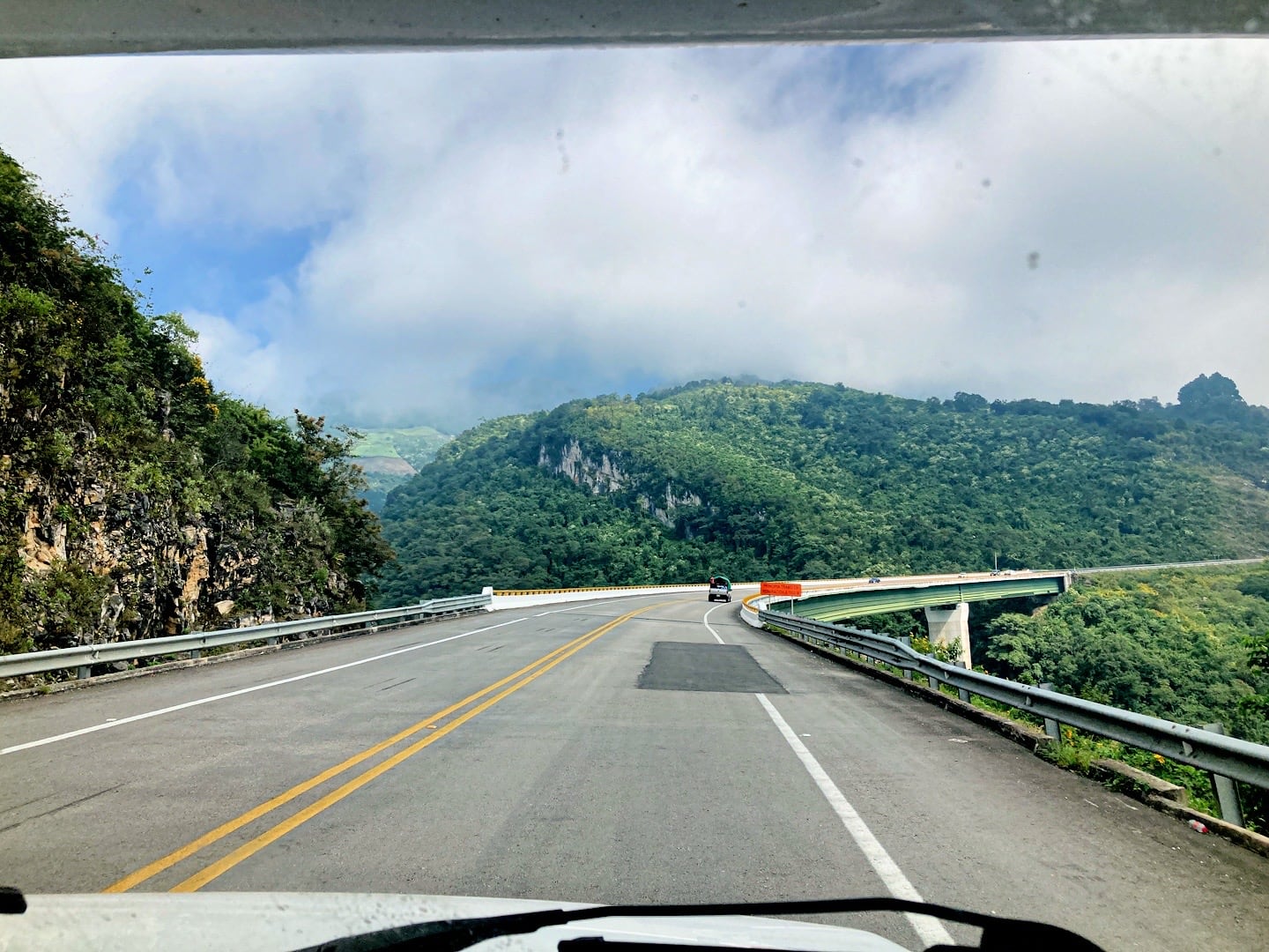
The drive from Coita up to San Cristobal should only take about two hours. However, it’s a 4,500-foot climb in elevation from 2,700 feet to 7,200 feet, which is no small undertaking for a 5.5-ton rig.
Up, up, and up we climbed.
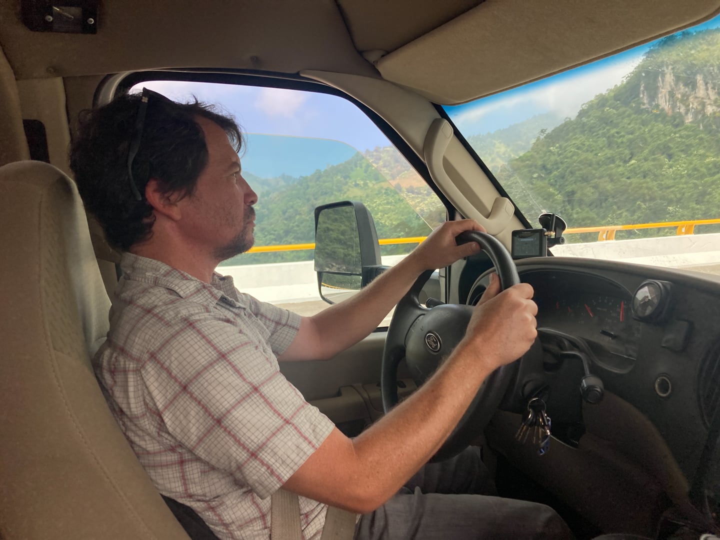
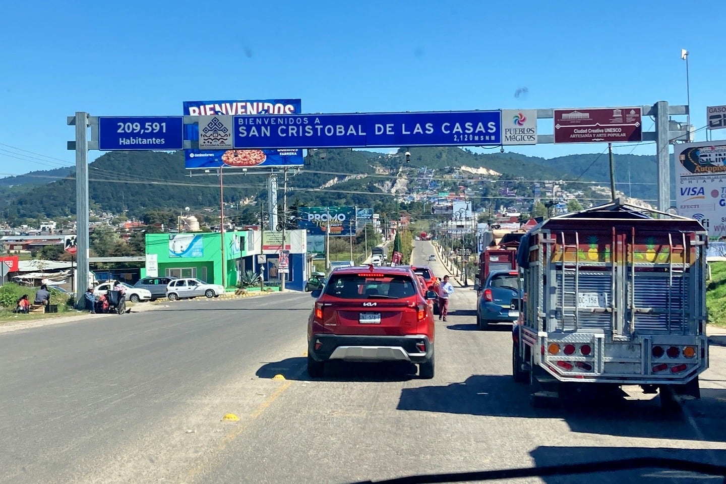
This being Sunday, traffic coming into town was pretty light. But the main part of the city is located down in a bowl and not easily accessible for large rigs.
The RV park we were headed to was located on the eastern edge of town, just off the Periférico (ring road), so we initially thought we’d lucked out avoiding a white knuckle ride through the narrow streets of Old San Cris.
But to access the RV park from the Periférico meant executing a string of advanced maneuvers I hadn’t planned on.
First, I’d have to make a left-hand U-ey across traffic on a narrow, busy highway, onto a rough edge leading to a one-lane dirt path.
Next, I’d have to descend a steep and curvy one-lane gravel road (two-way traffic with blind curves and no place to pull out) for about 200 meters.
Once I’ve arrived at the bottom of the embankment, I’d need to wind my way through the extremely narrow roads of an established neighborhood, before finally executing a tight 5-point left hand turn into the property and squeezing through the narrow entrance gate.
I sent Lori ahead to check out the route, all the while blocking traffic at the top of the hill making some local residents surprisingly angry in the process.
One thing I’ve learned driving an RV in Mexico is that too many of the locals (usually in the most challenging towns) are inexplicably and unnecessarily impatient and unwilling to put themselves in my shoes for a moment.
As if any manner of yelling and waving their arms is going to magically transform a 24-foot long, 8-foot wide monster into a simple-to-maneuver automobile.
Tranquilate, Güey!
When all was said and done, we miraculously managed to make it to Camping San Nicolas without being knocked over by a gust of wind, blowing a tire from a sharp rock wedged between dualies, breaking an axle in a crater-sized pothole, sliding off the side of a sheer cliff, running head-first into another vehicle on a one-lane dirt track, clipping a pole, cement wall, or tree branch, or having a major electrical meltdown.
Of course, Camping San Nicolas didn’t make it easy when we arrived. The place was more packed than we’ve seen an RV park in some time, and the infrastructure was very neglected.
Already exhausted from the past several days, I was in no mood to play hide-and-go-seek with RV hookups. Yet, that’s exactly what I found myself doing for the next 30 minutes.
It took some creative electrical grounding, water hose hookups, and cutting a few branches off a tree, but we did find a serviceable spot that allowed us to settle in for what was about to become the coldest night we’d yet to experience in nearly ten months of living in an RV.
But not before donning all the “cold weather” gear we have on hand and heading out into the frigid highlands evening to grab a much-deserved meal and pint.